Scenic route Valdresflye
Where the road floats above the treeline
A drive with a panoramic view of the mountains and wide expanses at the gateway to Jotunheimen.
The road swoops and stretches out ahead in long sweeps of undulating terrain.
A drive with a panoramic view of the mountains and wide expanses at the gateway to Jotunheimen, through cultural landscapes with mountain dairy farms and traditional tourist enterprises.
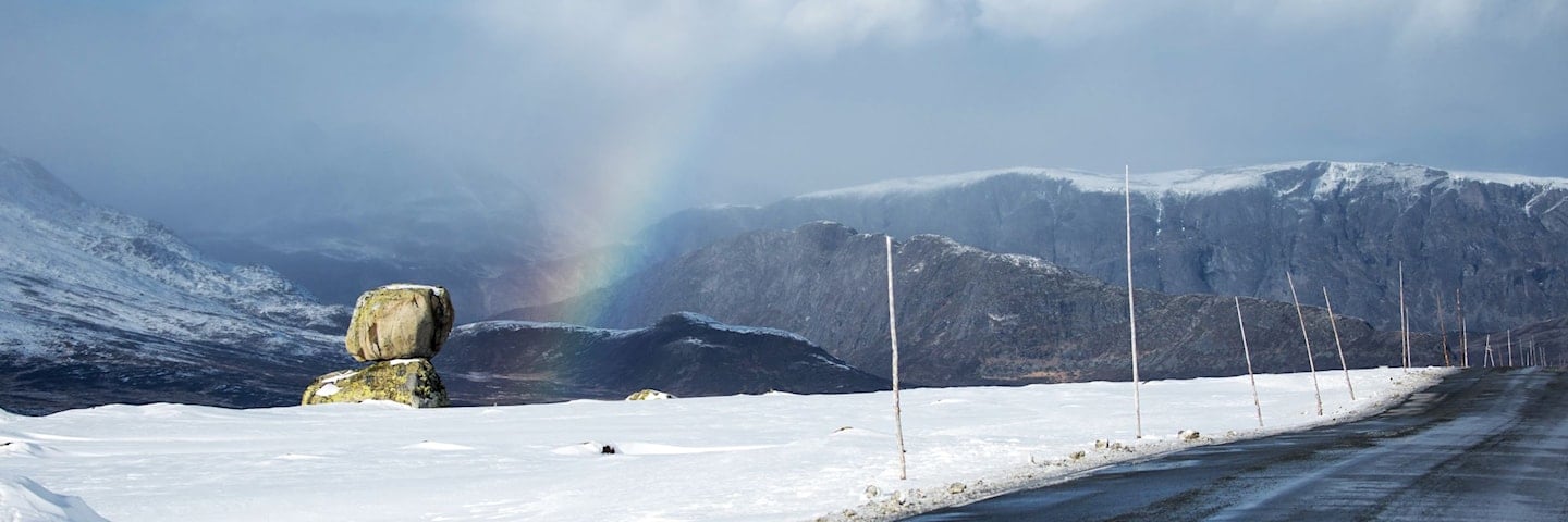
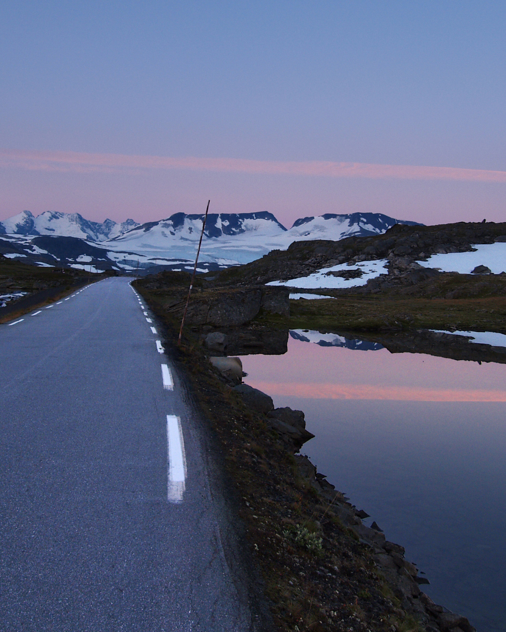
Up on Valdresflye you get the feeling of “hovering” above the mountain plateau with a great view towards many of the mountain peaks of Jotunheimen National Park. Large parts of the route runs above the tree line, with the highest point at 1389 meters above sea level.
Valdresflye is like a large painting where the road swoops and stretches out ahead in long sweeps of undulating terrain. The route forms part of a number of circular drives, and is an alternative if you are heading north.
Map of the route
Closed for the winter
- Closed:
- Estimated open:


Travel information
- Length
- 49 km
- MASL
- 890 – 1389
Norwegian Scenic Route Valdresflye runs between Hindsæter and Garli [51], with a detour to Gjende. This is an excellent alternative if you are heading north, or it can be included in a wide variety of round trips. Norwegian Scenic Route Valdresflye is an innate leg in several roundtrips.
For cyclists: Beware of strong winds in large open areas high up the mountains. The route includes some long climbs, and car traffic may at times be quite heavy. In time, this route will be part of National Cycle Route 5.
Traffic and road information
Telephone +47 815 48 991
Traffic alerts in map (Norwegian only)
Traffic alerts in telephone app (Norwegian only)
Map information
- GPS, Hindsæter:
- 61.618944, 8.972654
- GPS, Garli:
- 61.269397, 8.863413
Gpx file download for gps and navigation app.
In this file, the direction of travel is from Garli to Hindsæter. Gpx files for all Scenic Routes. Any alternative driving pattern must be adapted by the users themselves.
Information
Emptying toilets from motorhomes and caravans is not permitted in our toilets. The facility is not designed for such use. The nearest dump stations are at Vågåmo and Fagernes.
Vinterinformasjon
The road between Garli and Maurvangen is closed in winter. Previous closures are 15 December and 9 January. Previous openings are 22 March and 5 April.
NOTE! After opening, the road may be closed for a period at night and in bad weather. Click on the snow icon in the map for information about closures.
-

Photo 1 of 13: Norwegian Scenic Route Valdresflye. Photo: Jarle Wæhler, Statens vegvesen -

Photo 2 of 13: Hindsæter. Norwegian Scenic Route Valdresflye. Photo: Jarle Wæhler, Statens vegvesen -

Photo 3 of 13: Gjende. Norwegian Scenic Route Valdresflye. Photo: Jarle Wæhler, Statens vegvesen -

Photo 4 of 13: Vargebakkane. Norwegian Scenic Route Valdresflye. Photo: Frid-Jorunn Stabell, Statens vegvesen -

Photo 5 of 13: Steinplassen. Norwegian Scenic Route Valdresflye. Photo: Werner Harstad, Statens vegvesen -

Photo 6 of 13: Flye 1389. Norwegian Scenic Route Valdresflye. Photo: Werner Harstad, Statens vegvesen -

Photo 7 of 13: Rjupa. Norwegian Scenic Route Valdresflye. Photo: Frid-Jorunn Stabell, Statens vegvesen -

Photo 8 of 13: Smørkoll, Garli. Norwegian Scenic Route Valdresflye. Photo: Helge Stikbakke, Statens vegvesen -

Photo 9 of 13: Garli. Norwegian Scenic Route Valdresflye. Photo: Jarle Wæhler, Statens vegvesen -

Photo 10 of 13: Flye 1389. Norwegian Scenic Route Valdresflye. Photo: Harald Christian Eiken, vmproduksjon.no -

Photo 11 of 13: Flye 1389. Norwegian Scenic Route Valdresflye. Photo: Frid-Jorunn Stabell, Statens vegvesen -

Photo 12 of 13: Norwegian Scenic Route Valdresflye. Photo: Jarle Wæhler, Statens vegvesen -

Photo 13 of 13: Norwegian Scenic Route Valdresflye. Photo: Helge Stikbakke, Statens vegvesen
Experiences
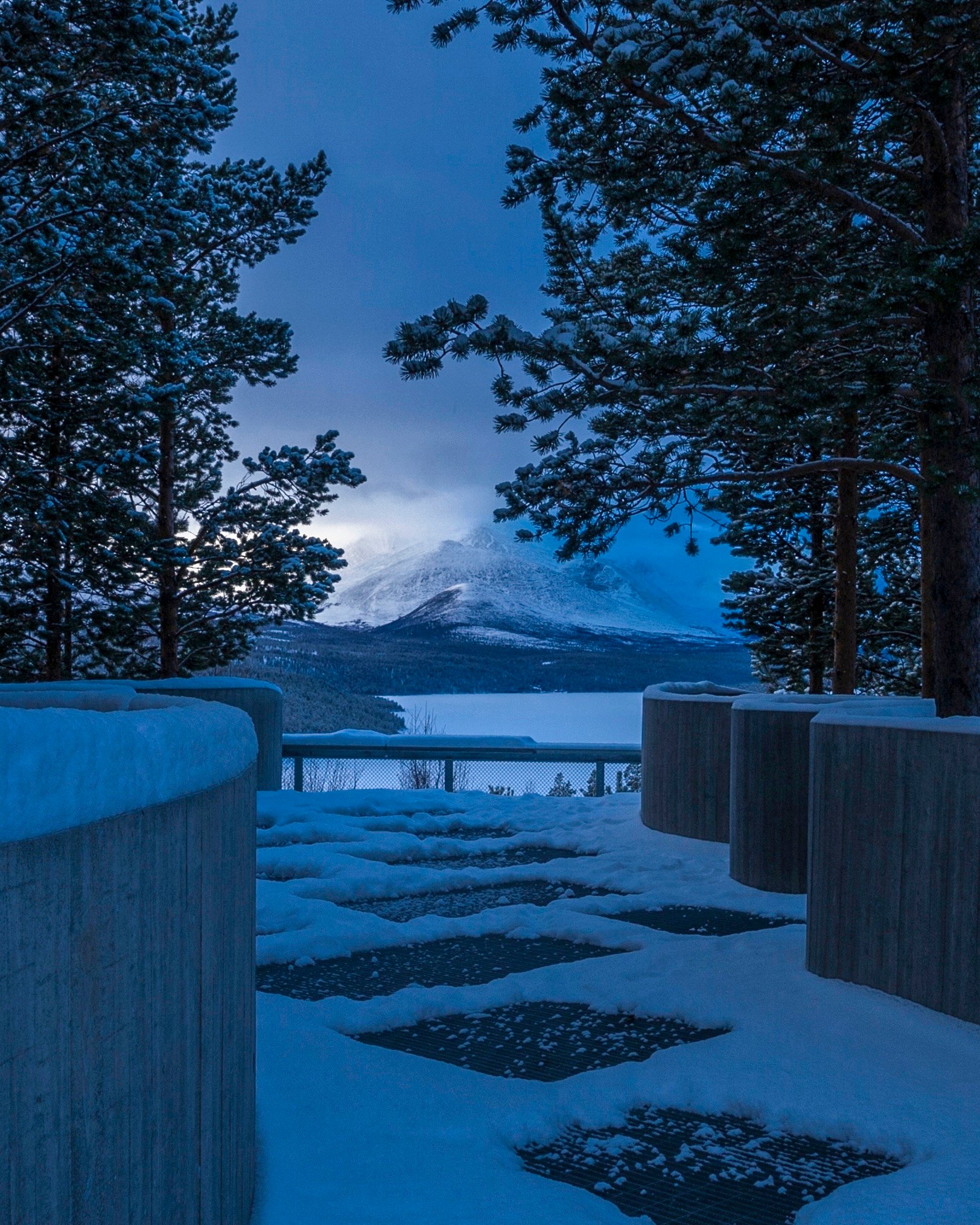
At Valdresflye you can stop your car almost anywhere, and take a long or short hike into the mountains. Whether you like rocky mountain terrain or soft forest ground, you are sure to find hiking trails that suit your preferences along this route.
Bitihorn and Synshorn are attractive peaks that offer stunning views of Bygdin. To experience the famous but challenging Besseggen Ridge, take a short detour to Gjende.
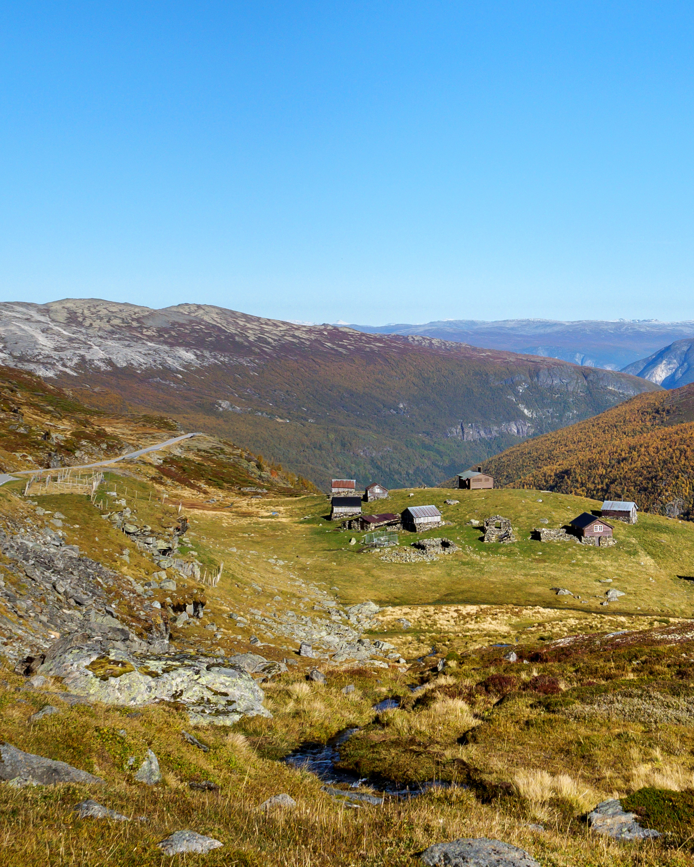
Experience cultural landscapes with active mountain dairy farms and traditional tourist enterprises in the Norwegian mountains. Mountain dairy farms where you can buy butter, sour cream and cheese made in the traditional way.
Useful links
-
The official travel guide to Norway
-
Travel by bus, train, ferry, metro and plane
-
Good advice for campers
-
Plan your trip and familiarize yourself with the traffic rules in Norway
The 18 Norwegian Scenic Routes
Norwegian Scenic Routes are roads that run through unique Norwegian nature. Along the roads you will find artworks, viewpoints and rest areas with innovative architecture in beautiful landscapes.
![]()