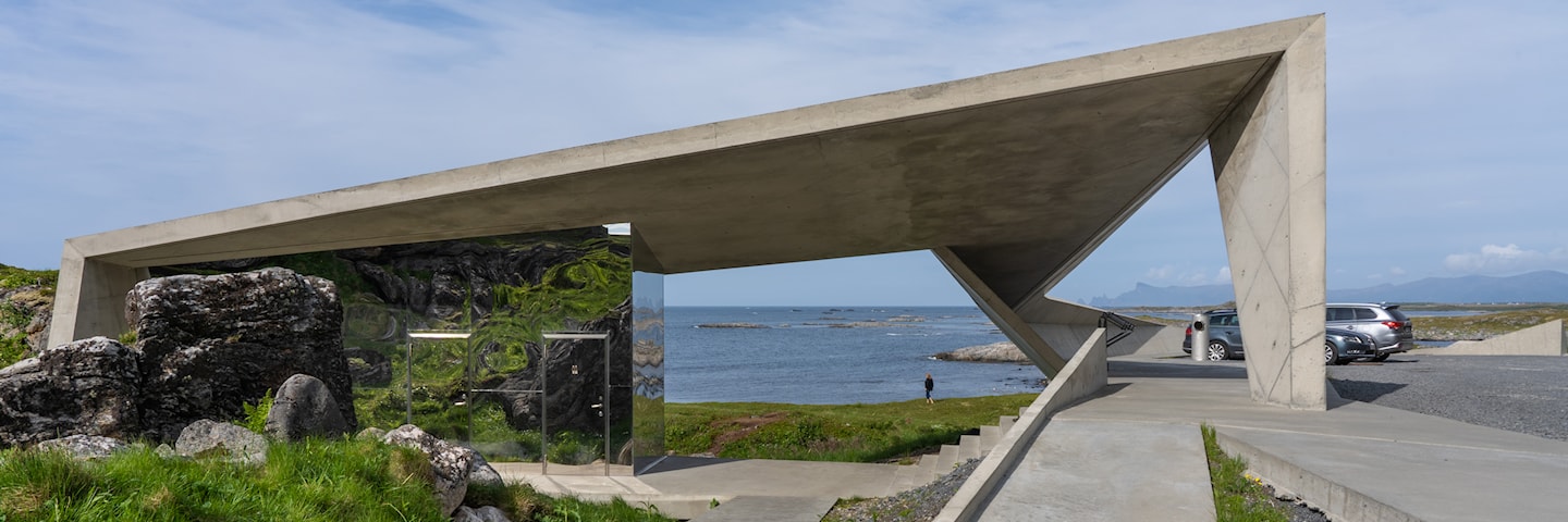
Rest area and viewpoint Bukkekjerka
GPS, Bukkekjerka:
69.10416104, 15.57320704
Partially wheelchair accessible.
The toilets are open from mid-May to early October. Emptying toilets from motorhomes and caravans is not permitted.
At the Børhella promontory you see the rock formation of Bukkekjerka, which is an old Sami sacrificial site.
At Børra, the road separates the steep mountainside in the east from the open sea that breaks against the shore in the west. At the Børhella promontory you see the rock formation of Bukkekjerka, which is an old Sami sacrificial site. The name, although it sounds like “buck church” in Norwegian, stems from the Sami word “bohki " which means crevice and “giergie” which means rock. Several trodden tracks lead to the top of Bukkekjerka.
Here we have placed a small bench where you can see far out over the open sea, the mountain peaks in the north and the midnight sun. There are several places where you can sit down by the southern wall of Bukkekjerka. From this rest area there is a path leading out to the islet with two small unmanned lighthouses. During the great herring fisheries period, Børvågen was a lively fishing village, but the storm in 1879 reduced it to rubble. There are still remains of Iron Age buildings, burial mounds and old boat landings.
Map of the route
Closed for the winter
- Closed:
- Estimated open:
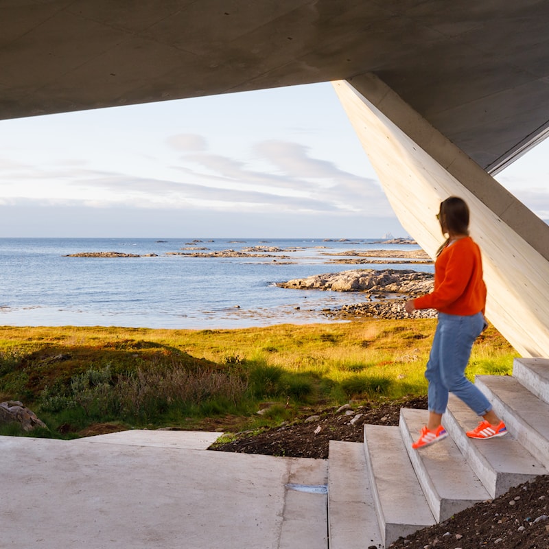
Photo: Espen Bergersen, Naturgalleriet.no
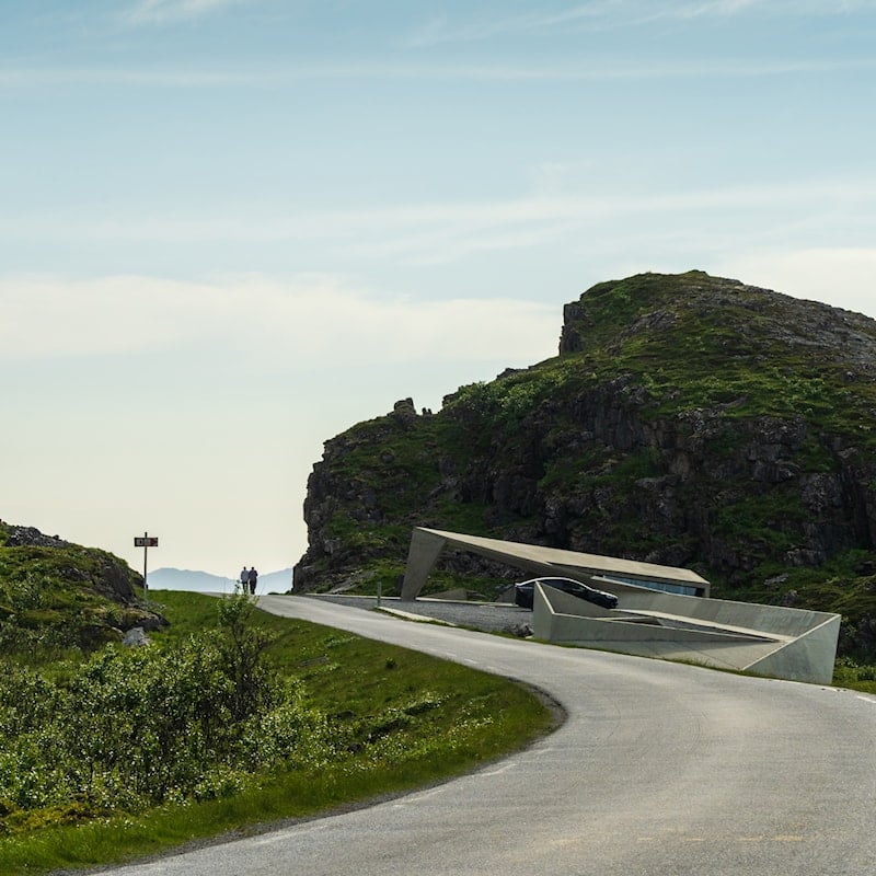
Photo: Frid-Jorunn Stabell, Statens vegvesen
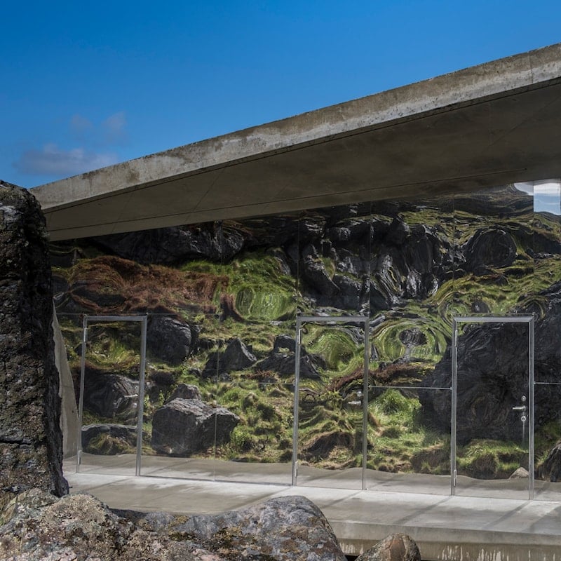
Photo: Silja Lena Løken, Statens vegvesen
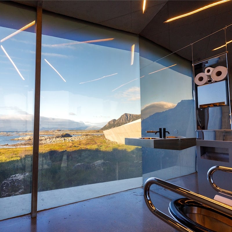
Photo: Espen Bergersen, Naturgalleriet.no
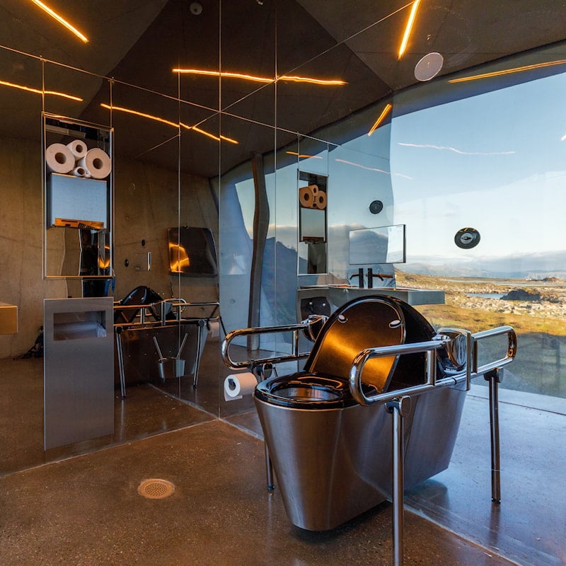
Photo: Espen Bergersen, Naturgalleriet.no
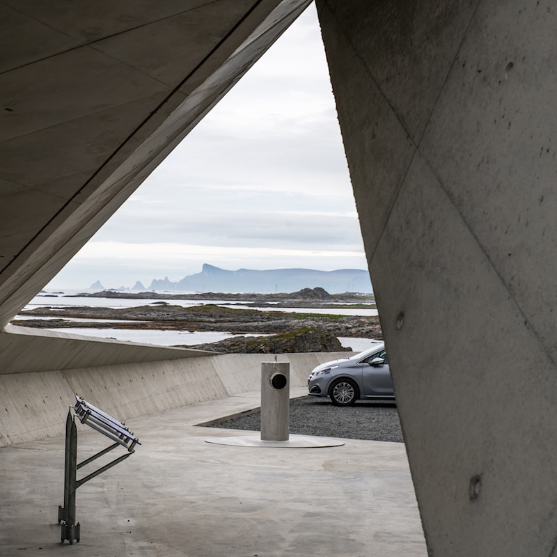
Photo: Jarle Wæhler, Statens vegvesen
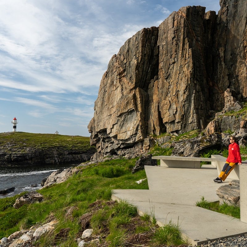
Photo: Frid-Jorunn Stabell, Statens vegvesen
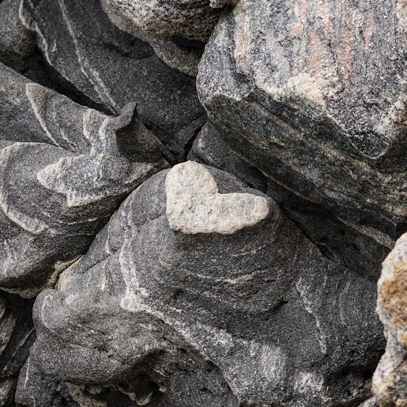
Photo: Trine Kanter Zerwekh, Statens vegvesen
