Scenic route Hardangervidda
From high mountain plateaus to the nature of Western Norway
A journey of contrasts, from vast mountain plateaus to the fiordscapes of Western Norway.
Vøringsfossen waterfall and Måbødalen constitute a sharp and sudden transition from east to west.
Hardangervidda has a range of varied experiences to offer, from where the road rolls gently across the large plateaus to the narrow, steep and wild valley of Måbødalen, before you all of a sudden find yourself no longer up in the mountains, but down in the small village of Eidfjord at the head of Hardangerfjorden.
In winter, weather conditions in the mountains change from hour to hour. You may often find that there is a convoy system in operation, where you drive behind large snow plough that make every effort to keep the road drivable.
Map of the route
Closed for the winter
- Closed:
- Estimated open:


Travel information
- Length
- 67 km
- MASL
- 0 – 1250
Norwegian Scenic Route Hardangervidda runs between Eidfjord to Haugastøl [7]. This route is open for traffic throughout the year.
For cyclists: The route has a natural starting point at Haugastøl. Beware of heavy summer traffic, with both light and heavy vehicles. Due to multiple tunnels, the road is closed to cyclists down Måbødalen valley. You may instead take the bus and continue your trip to Eidfjord and further west. The old road is closed due to a number of rockslides. The route runs high up in the mountains and the weather may be volatile even in summer.
Traffic and road information
Telephone +47 815 48 991
Traffic alerts in map (Norwegian only)
Traffic alerts in telephone app (Norwegian only)
Map information
- GPS, Haugastøl:
- 60.511074, 7.851148
- GPS, Eidfjord:
- 60.455155, 7.092544
Gpx file download for gps and navigation app.
In this file, the direction of travel is from Eidfjord to Haugastøl. Gpx files for all Scenic Routes. Any alternative driving pattern must be adapted by the users themselves.
Information
Emptying toilets from motorhomes and caravans is not permitted in our toilets. The facility is not designed for such use. The nearest dump station is at Øvre Eidfjord.
Vinterinformasjon
At times of bad weather in the winter, the road over the mountain plateau may be closed for short periods. The road over the plateau may occasionally also be closed in the winter season to allow the reindeer to graze in peace.
Due to a lot of snow and slippery ground, Vøringsfossen is closed in winter.
-

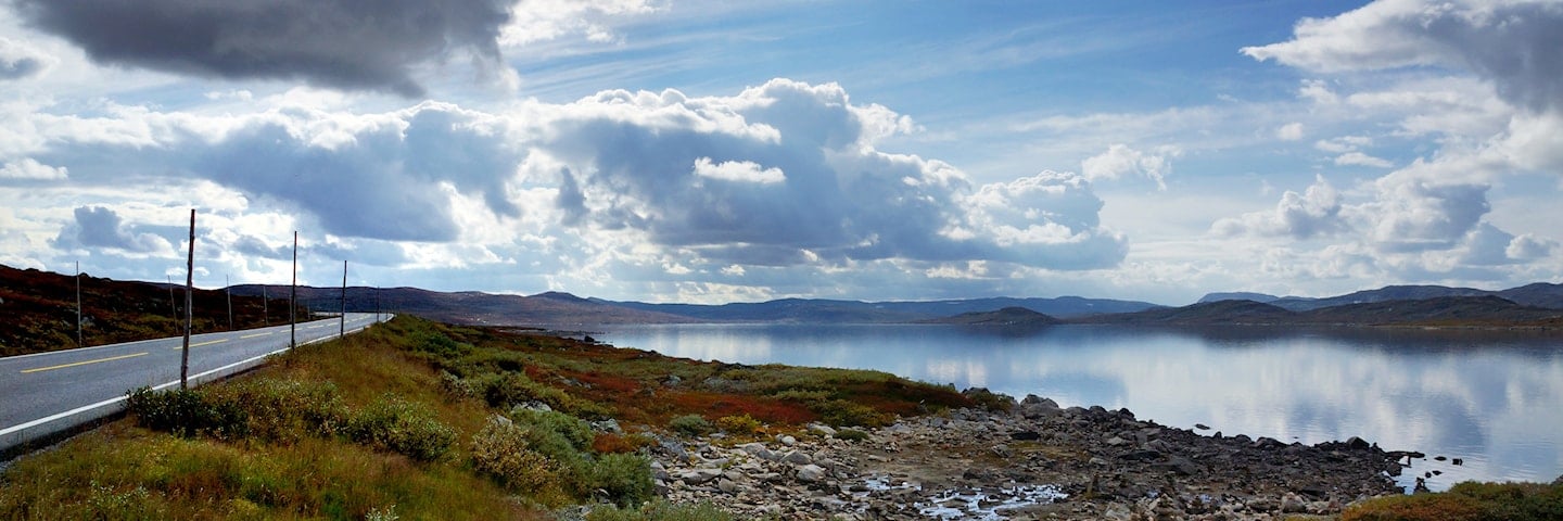
Photo 1 of 10: Hardangervidda. Photo: Silja Lena Løken, Statens vegvesen -

Photo 2 of 10: Skulevikstølen, Hardangervidda. Photo: Sigmund Krøvel-Velle, avisa Hallingdølen -

Photo 3 of 10: Halne, Hardangervidda. Photo: Kjersti Wold, drivprosjektstyring.no -

Photo 4 of 10: Ørteren, Hardangervidda. Photo: Frid-Jorunn Stabell, Statens vegvesen -

Photo 5 of 10: Vøringsfossen. Photo: Frid-Jorunn Stabell, Statens vegvesen -

Photo 6 of 10: Måbødalen. Photo: Roger Ellingsen, Statens vegvesen -

Photo 7 of 10: Måbødalen. Photo: Bjørn Andresen, Statens vegvesen -

Photo 8 of 10: Måbø bridge. Photo: Frid-Jorunn Stabell, Statens vegvesen -

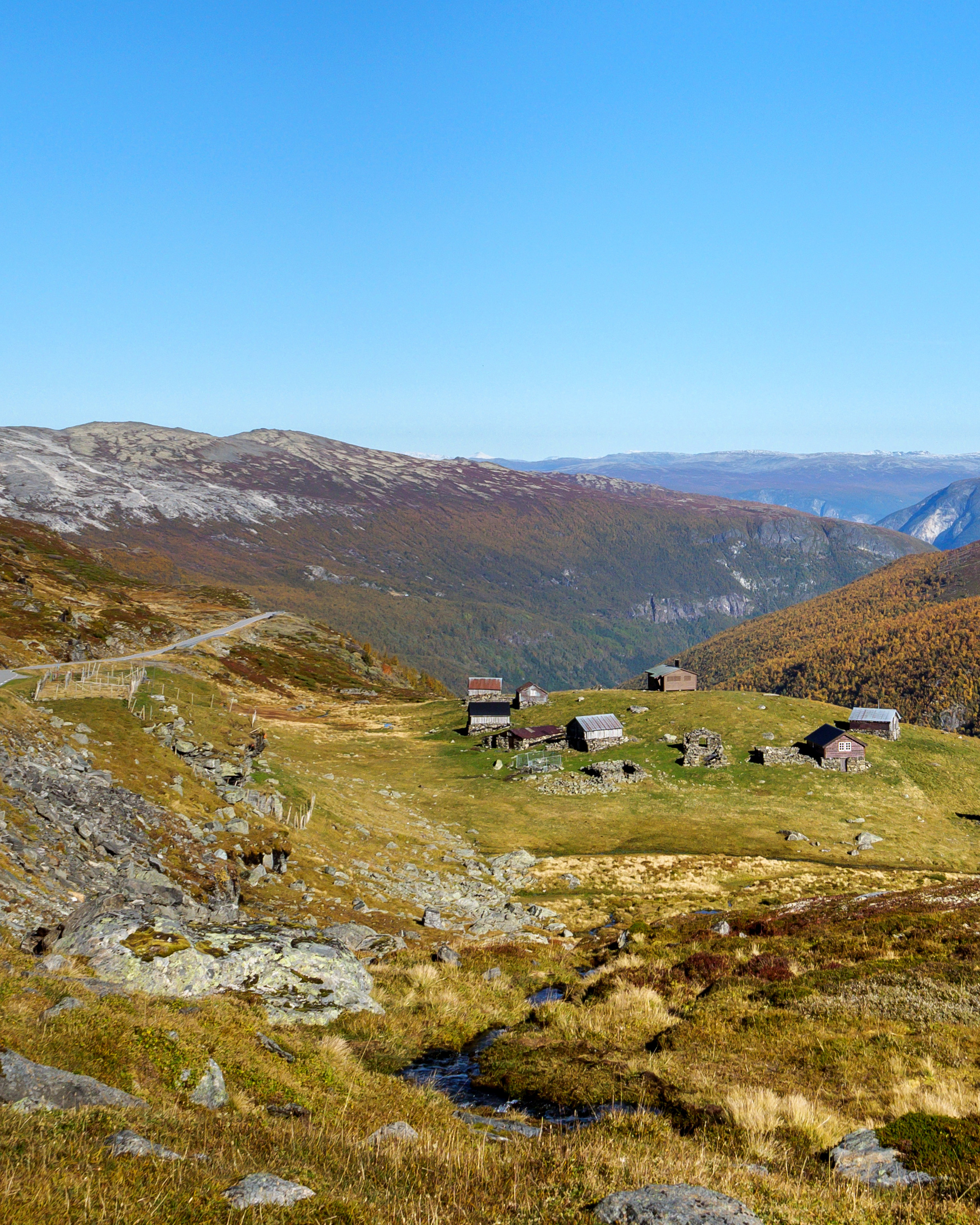
Photo 9 of 10: Måbø farm. Photo: Frid-Jorunn Stabell, Statens vegvesen -

Photo 10 of 10: Eidfjord. Photo: Frid-Jorunn Stabell, Statens vegvesen
Experiences
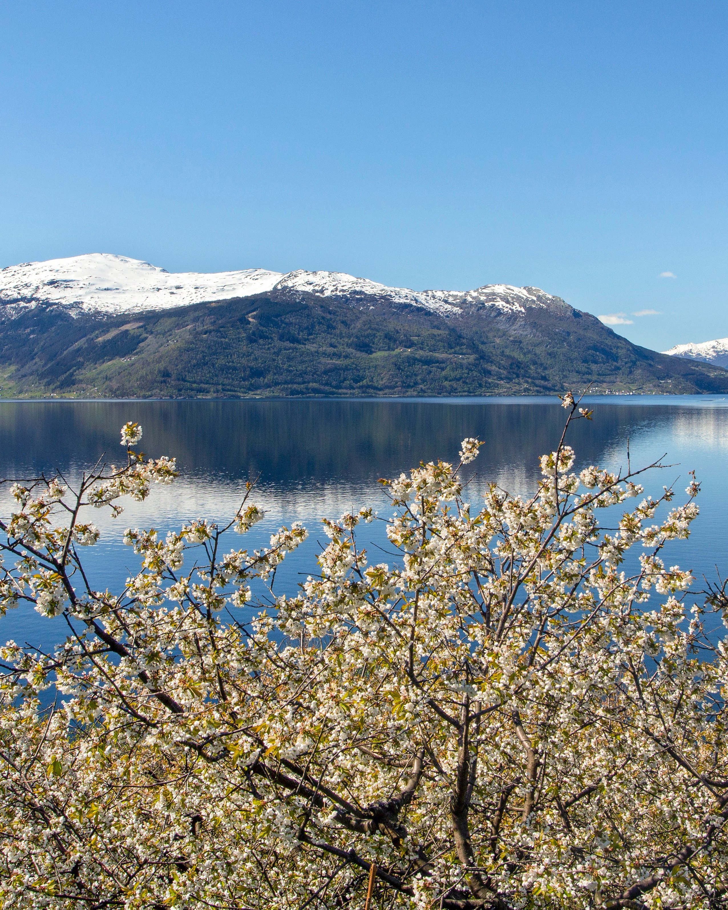
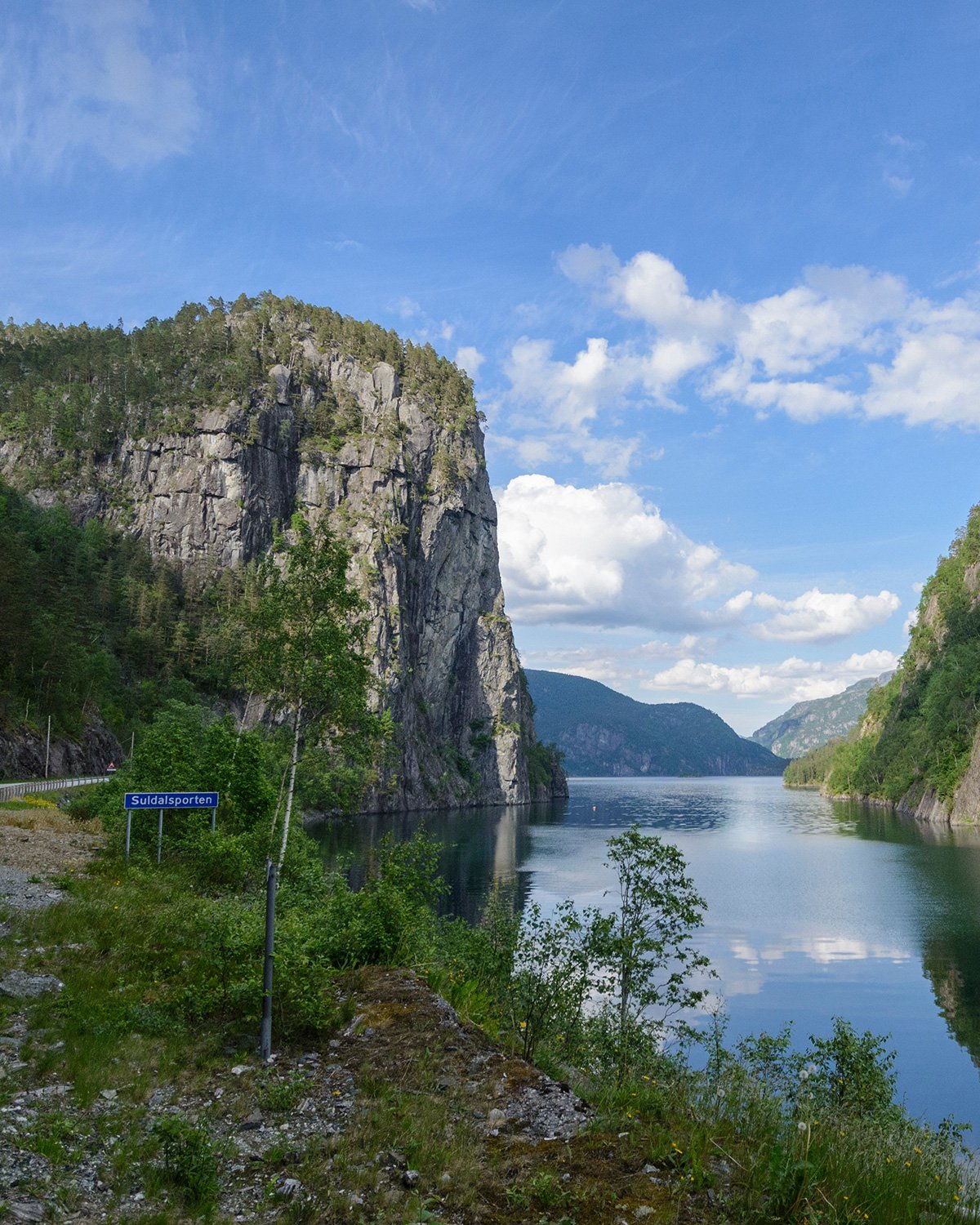
The drive takes you across the largest high-altitude plateau in Northern Europe. Here you will find vast plateaus, deep lush valleys, high mountains, glaciers in the distance, waterfalls and blue-green fiords.
Experience Vøringsfossen, Norway's most famous waterfall. The water thundering down the mountainside in a free fall of 182 metres is an impressive sight. The valley of Måbødalen is a spectacular part of the route and can be admired from the car window. It also has a rare and beautiful flora. Up on the high mountain plateau, you will see a stunning panorama with the Hardangerjøkulen glacier in the background.
The terrain is well suited for hiking, and the many mountain lakes may let you get your own fish dinner, if you’re lucky. On the Hardangervidda plateau we also find one of the largest herds of wild reindeer in Europe. With patience and a bit of luck you may be able to see these amazing animals in their natural surroundings.
Useful links
-
The official travel guide to Norway
-
Travel by bus, train, ferry, metro and plane
-
Good advice for campers
-
Plan your trip and familiarize yourself with the traffic rules in Norway
The 18 Norwegian Scenic Routes
Norwegian Scenic Routes are roads that run through unique Norwegian nature. Along the roads you will find artworks, viewpoints and rest areas with innovative architecture in beautiful landscapes.
![]()