Scenic route Helgelandskysten

From mountain peaks and cascading glaciers to archipelago and lush coasts.
An alternative detour to the E6, with a magnificent view of the ocean and archipelago.
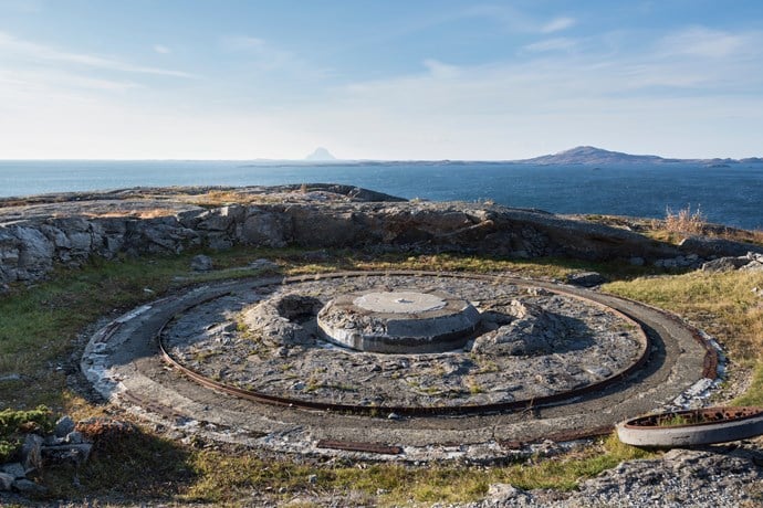
A journey of contrasts, and a drive where you will experience close contact with the coast, glaciers and a beautiful cultural landscape with a lot of history. An alternative detour to the E6.
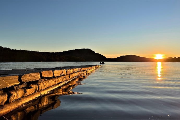
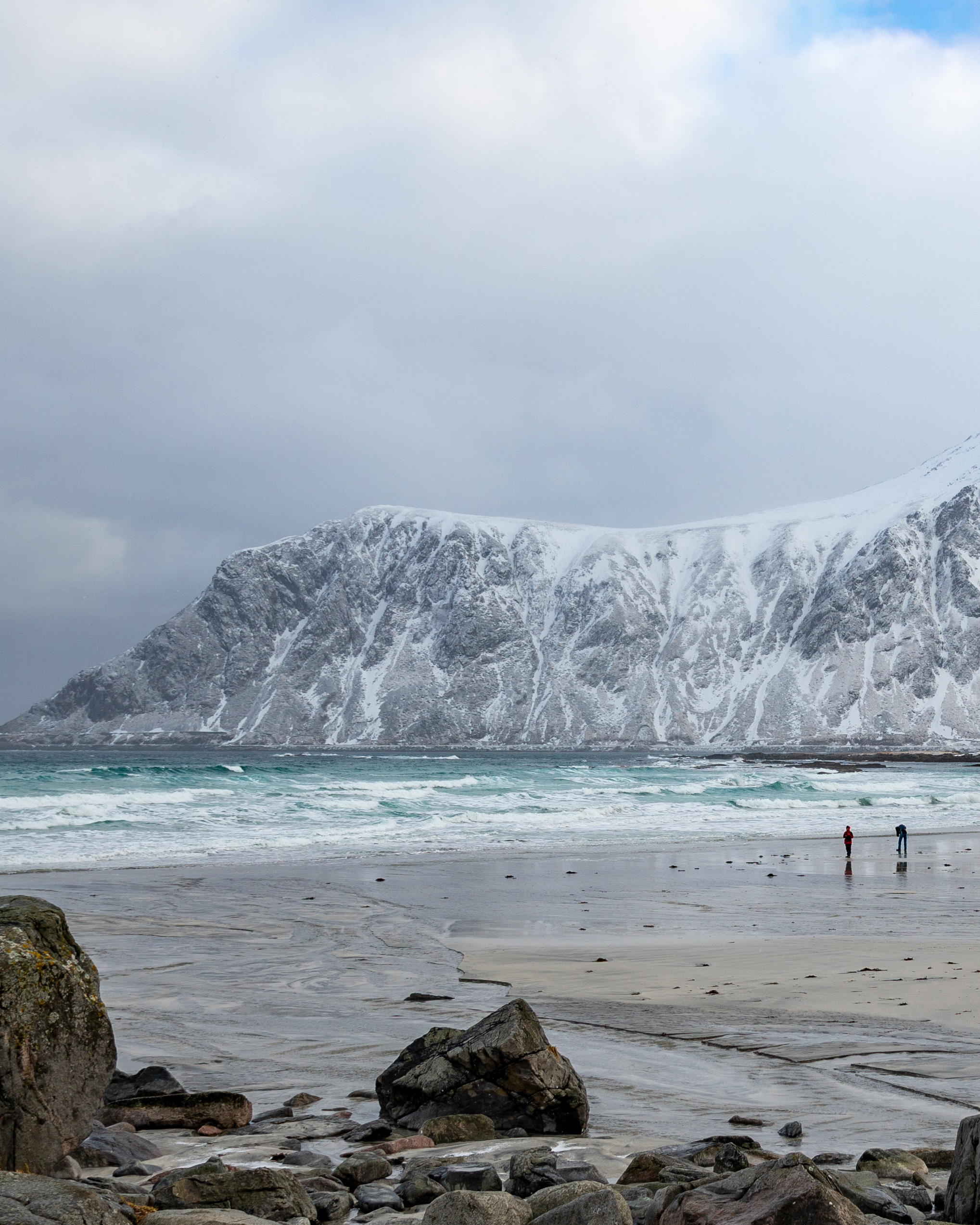
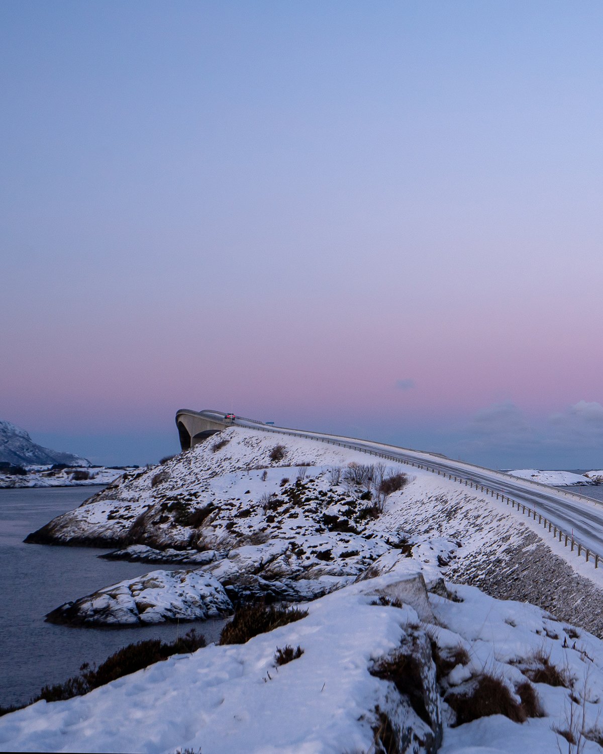
The road follows the coast but its character changes underway, from the long line of peaks in the north to the fiords and mountains, before the scenery turns into a gentler mix of skerries, islets and larger islands out at sea. Scenic Route Helgelandskysten is the longest of the 18 Norwegian Scenic Routes. The six ferry trips, as well as the contrasts the route presents, make it important to set aside plenty of time for this drive.
Going from Jektvik to Kilboghamn you will cross the Arctic Circle at 66 degrees northern latitude. On this journey you will also encounter many unique natural phenomena.
Map of the route
Closed for the winter
- Closed:
- Estimated open:


Travel information
- Length
- 433 km
- MASL
- 0 – 346
- Sea crossing
- 6 ferries
Norwegian Scenic Route Helgelandskysten runs from Godøystraumen to Holm [17] with detour to Torghatten [76] [7234]. On this stretch of road you must take several ferries. The ferries run between Holm – Vennesund, Horn – Anddalsvågen, Forvik – Tjøtta, Levang – Nesna, Kilboghavn – Jektvik and Ågskardet – Forøy (click on the ferry icon for timetable). Norwegian Scenic Route Helgelandskysten is a part of Kystriksveien [17] which runs from Steinkjer to Bodø.
Express boats or car ferries link a number of the larger islands with the mainland and this gives you the option of making splendid detours.
For cyclists: This is a long and arduous cycle ride, which is naturally divided into a number of sections. The route is easiest to cycle at the southern end. Note that the road runs through some relatively long tunnels. Cycling is prohibited in the Svartis Tunnel; take an alternative route/ferry. Scenic Route Helgelandskysten is part of National Cycle Route 1. The route also coincides with EuroVelo 1 «Atlantic Coast Route». The route is signposted.
Traffic and road information
Telephone +47 815 48 991
Traffic alerts in map (Norwegian only)
Traffic alerts in telephone app (Norwegian only)
Map information
- GPS, Godøystraumen:
- 67.246038, 14.723182
- GPS, Holm:
- 65.131221, 12.118199
Gpx file download for gps and navigation app.
In this file, the direction of travel is from Holm to Godøystraumen. Gpx files for all Scenic Routes. Any alternative driving pattern must be adapted by the users themselves.
Information
Emptying toilets from motorhomes and caravans is not permitted in our toilets. The facility is not designed for such use. The nearest dump stations are at Storvika, Holand, Øresvik, Hellåga, Sandnes-sjøen, Nesna and Brønnøysund.
-
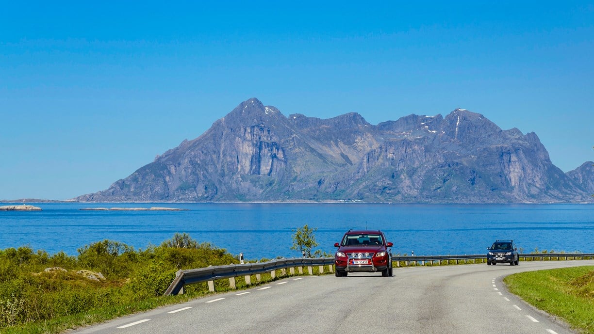
Photo 1 of 15: Fugløya. Photo: Steinar Skaar, Statens vegvesen -
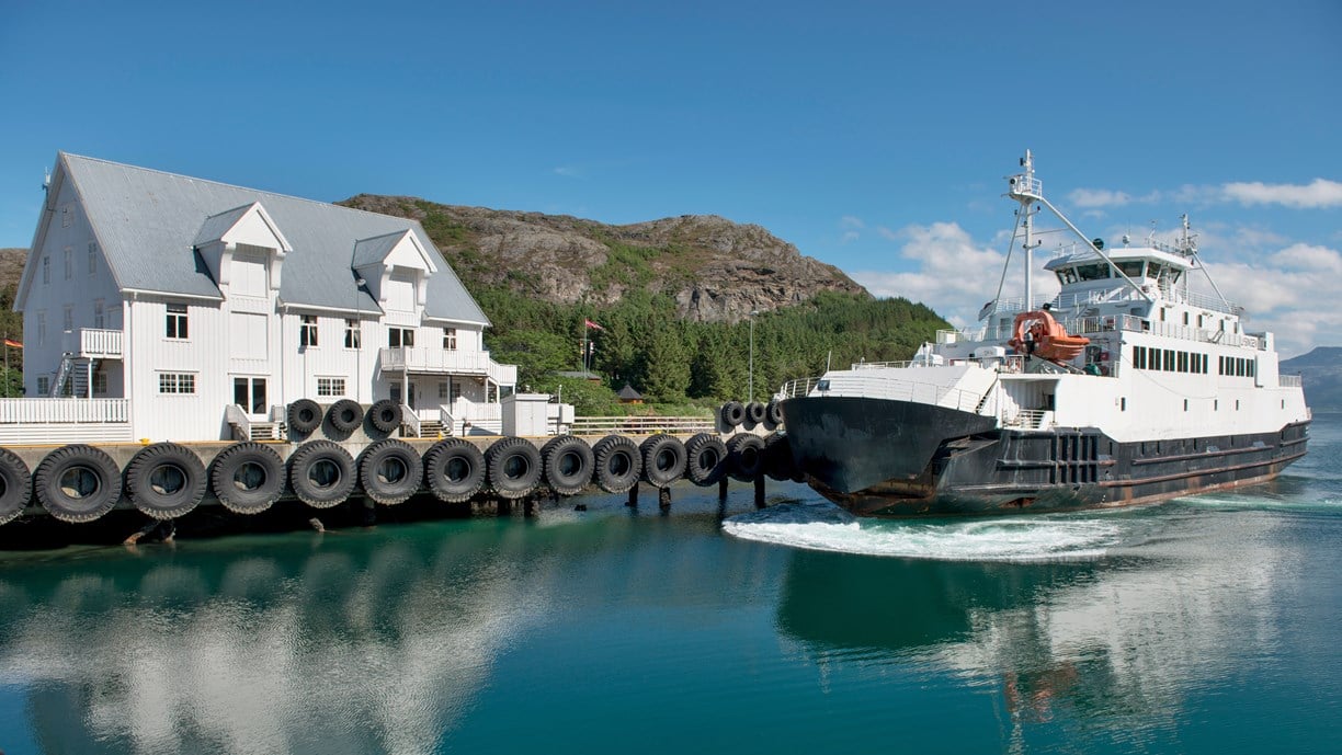
Photo 2 of 15: Vennesund. Photo: Jarle Wæhler, Statens vegvesen -
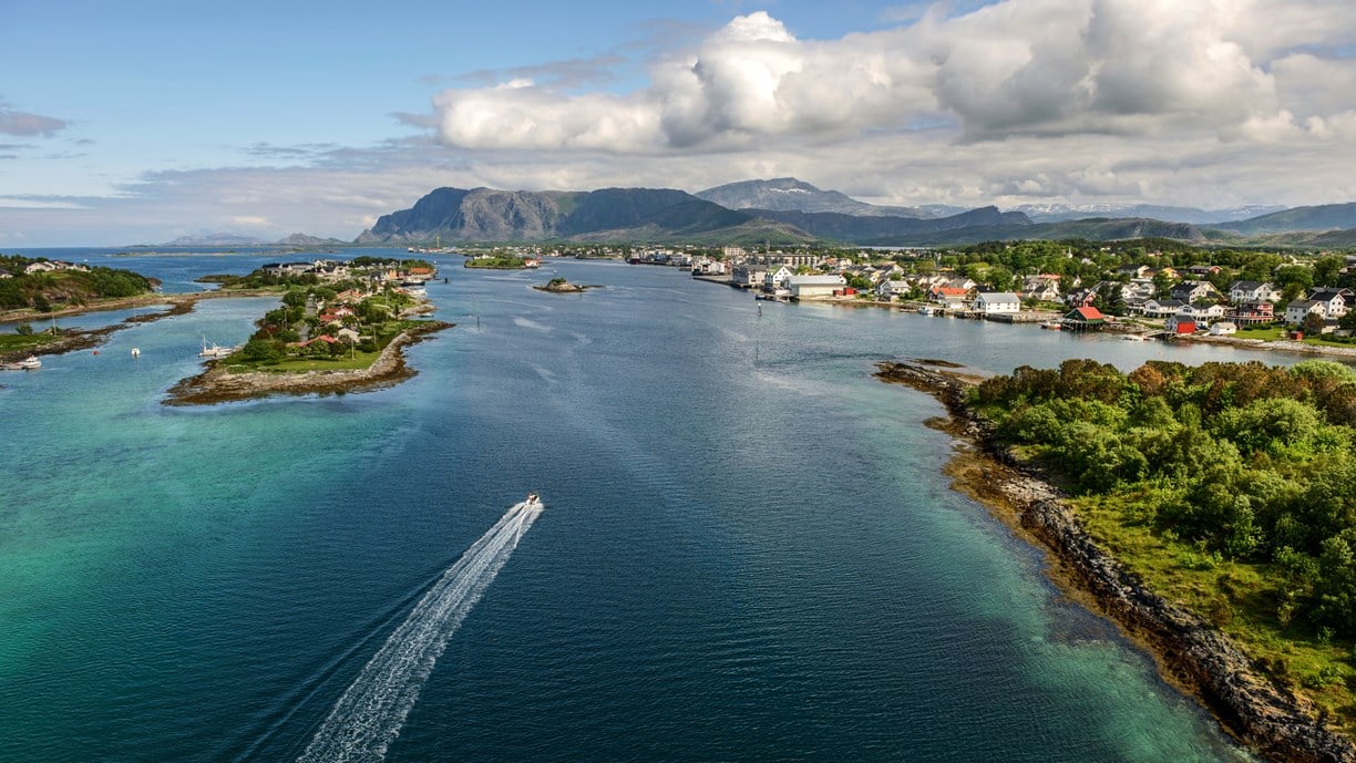
Photo 3 of 15: Brønnøysund. Photo: Jarle Wæhler, Statens vegvesen -

Photo 4 of 15: Rodal, Torghatten. Photo: Roger Ellingsen, Statens vegvesen -
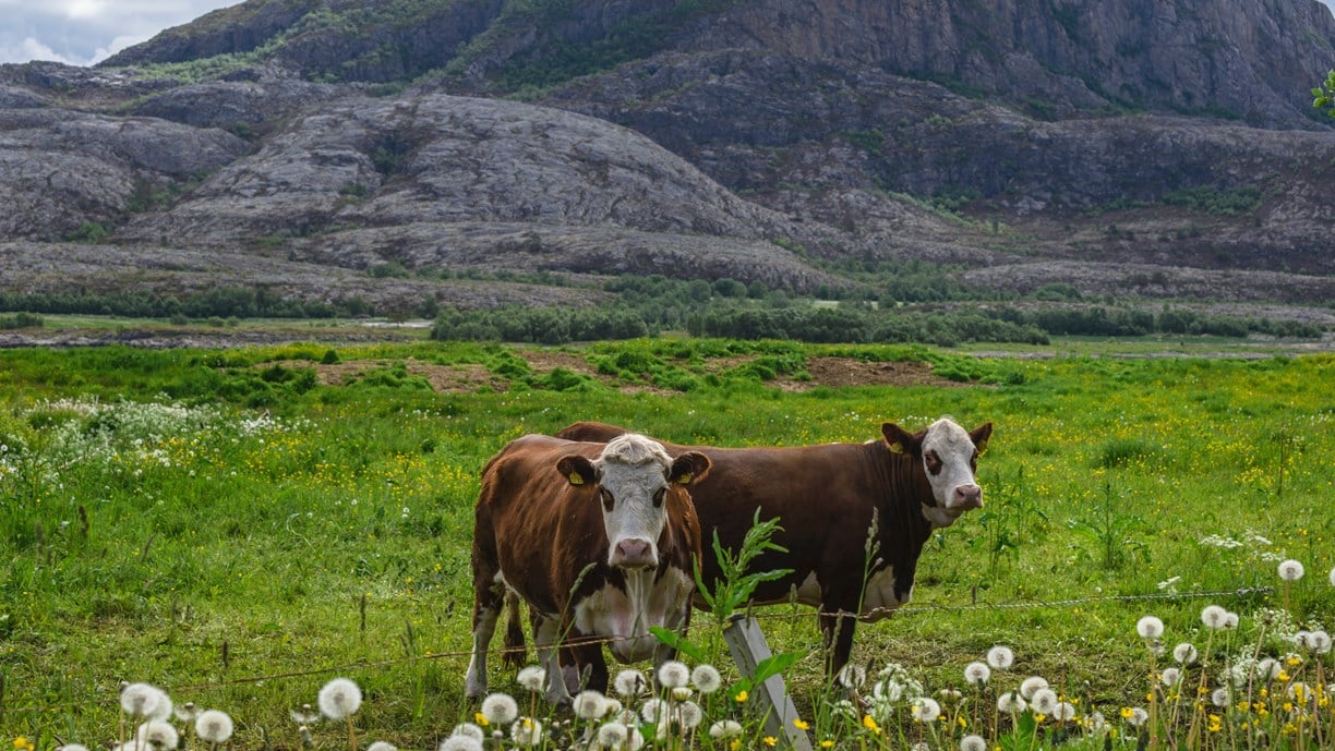
Photo 5 of 15: Torghatten. Photo: Roger Ellingsen, Statens vegvesen -
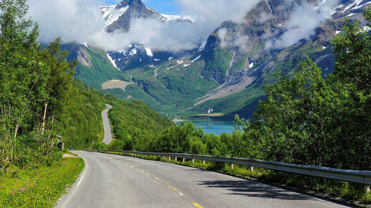
Photo 6 of 15: Holandssfjorden. Photo: Jarle Wæhler, Statens vegvesen -
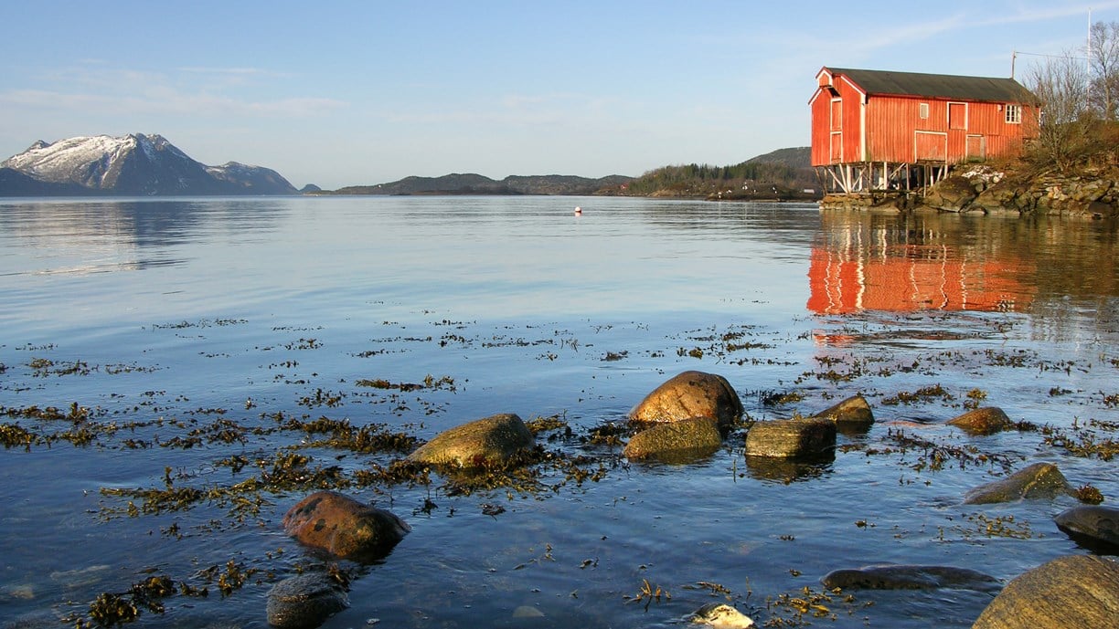
Photo 7 of 15: Torsvika. Photo: Werner Harstad, Statens vegvesen -
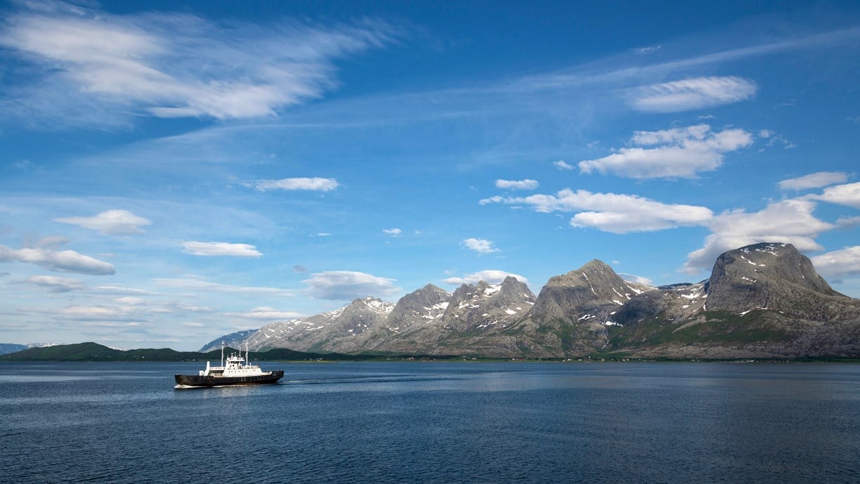
Photo 8 of 15: De syv søstre. Photo: Steinar Skaar, Statens vegvesen -
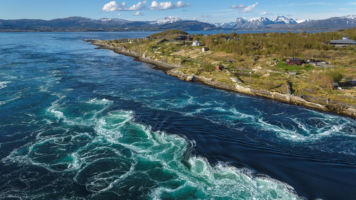
Photo 9 of 15: Saltstraumen. Photo: Steinar Skaar, Statens vegvesen -
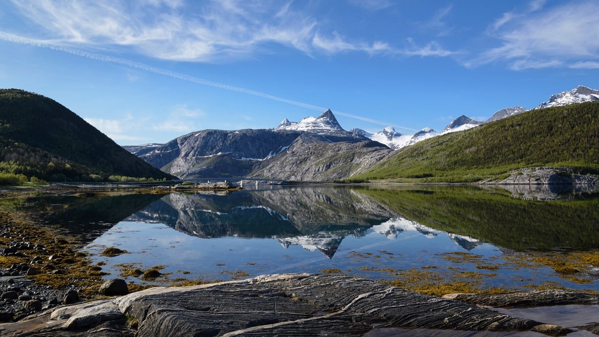
Photo 10 of 15: Åselistraumen. Photo: Steinar Skaar, Statens vegvesen -

Photo 11 of 15: Sea eagle. Photo: Jarle Wæhler, Statens vegvesen -
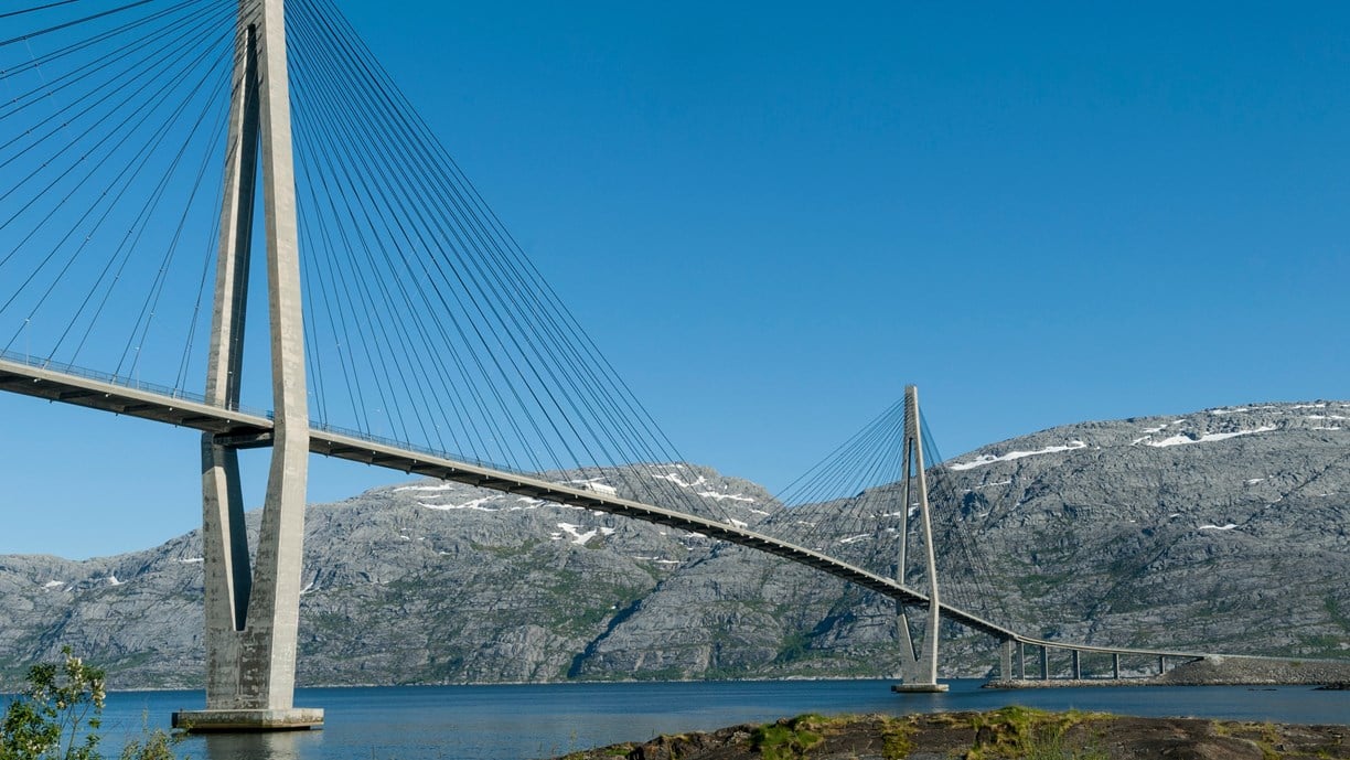
Photo 12 of 15: Helgelandsbrua, Leirfjorden. Photo: Steinar Skaar, Statens vegvesen -
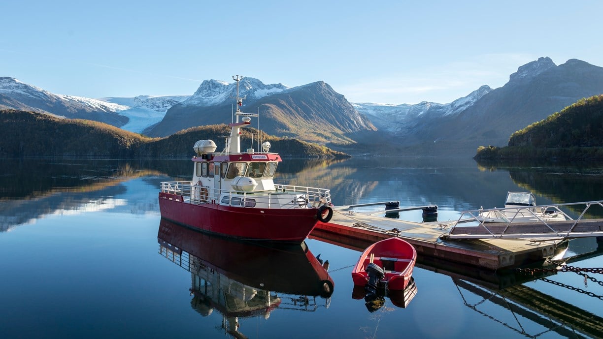
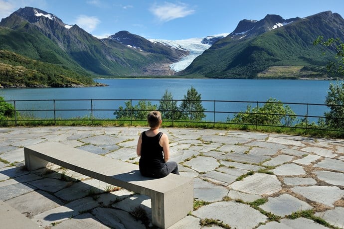
Photo 13 of 15: Holandsfjorden, Engabreen. Photo: Steinar Skaar, Statens vegvesen -
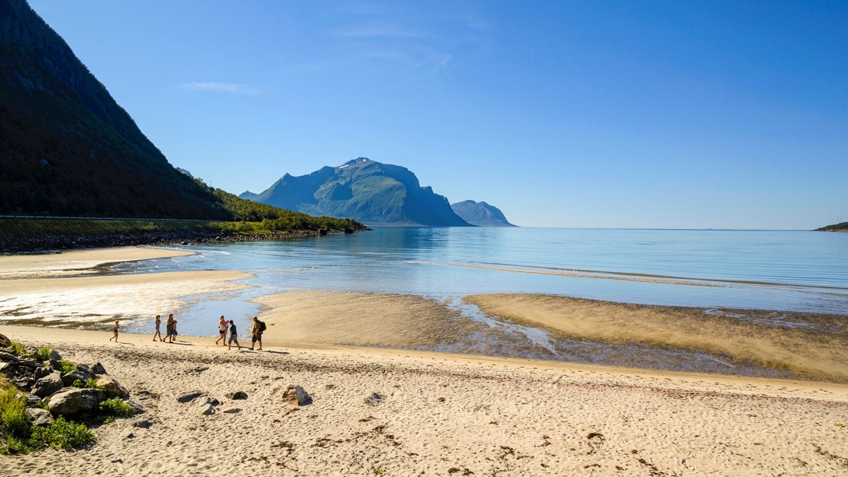
Photo 14 of 15: Storvika. Photo: Steinar Skaar, Statens vegvesen -
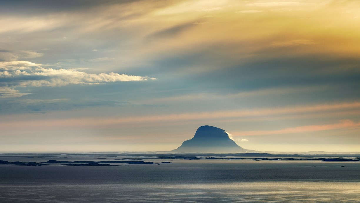
Photo 15 of 15: Lovund. Photo: Jarle Wæhler, Statens vegvesen
Experiences
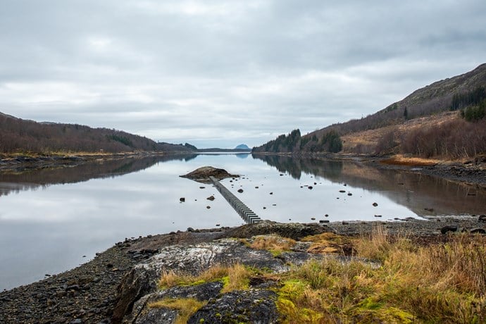
The Helgeland coast is characterized by a unique archipelago with more than 14,000 islands and islets. Long fiord arms break up the coastline and at the inner end of the fiords there are industrial villages that grew up around hydropower production plants.
From the scenic route, some dozen ferry connections take you to the major islands, from the World Heritage Site of Vega in the south to Sørarnøy in Gildeskål in the north. In addition, there is a network of express boat services connecting the archipelago and the mainland. This provides an abundance of opportunities for island hopping on foot, by bike or by car.
Take a detour to beautiful islands such as Vega, Dønna or Rødøya; admire Europe’s lowest-altitude glacier, Engabreen; experience Saltstraumen; or go hiking in one of the many mountains. If you are looking for an easy hike, the trail up to the characteristic hole through Mount Torghatten is highly recommended.
Useful links
-
The official travel guide to Norway
-
Ferry routes and timetables (Norwegian)
-
Travel by bus, train, ferry, metro and plane
-
Good advice for camping in Norway
The 18 Norwegian Scenic Routes
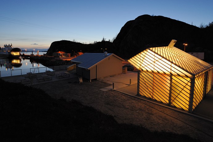
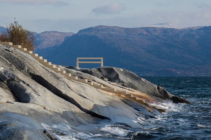
Norwegian Scenic Routes are roads that run through unique Norwegian nature. Along the roads you will find artworks, viewpoints and rest areas with innovative architecture in beautiful landscapes.
![]()