Rasteplass og utsiktspunkt Øvstefoss
GPS, Øvstefoss:
61.93701546, 7.26015421
Not wheelchair accessible.
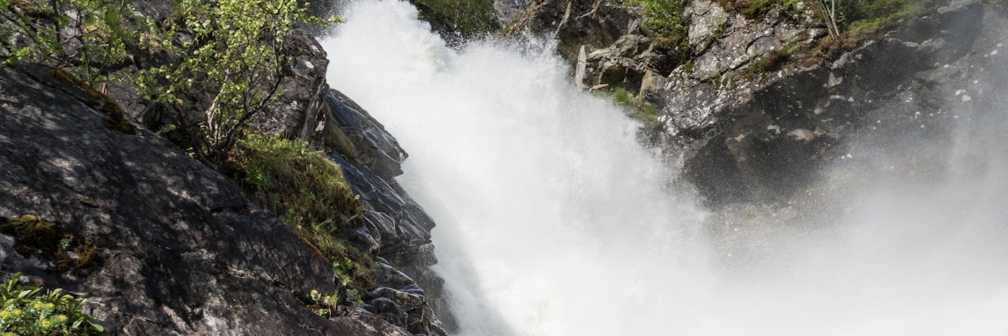
The Øvstefossen waterfall, cascading down into Hjelledalen valley, has impressed travellers over Strynefjellet for more than a century.
The Øvstefossen waterfall, cascading down into Hjelledalen valley, has impressed travellers over Strynefjellet for more than a century. Starting from the road, you can take the 200-metre long footpath and experience the foaming waterfall from a close distance, safely protected by steel railings.
Map of the route
Closed for the winter
- Closed:
- Estimated open:
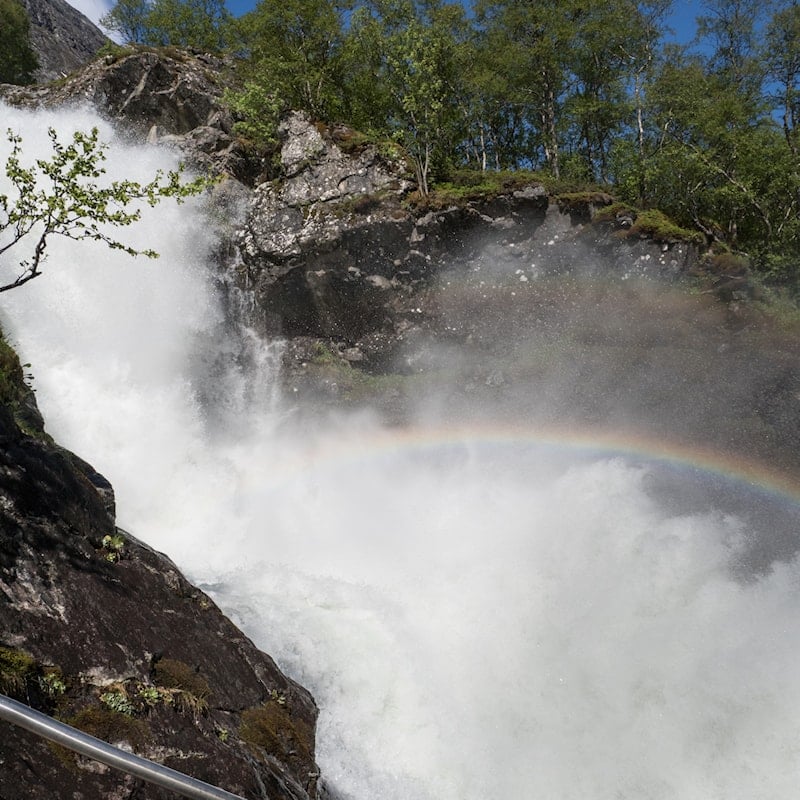
Photo: Werner Harstad, Statens vegvesen
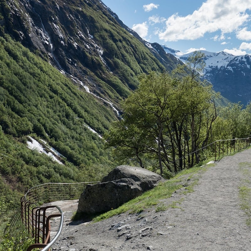
Photo: Werner Harstad, Statens vegvesen
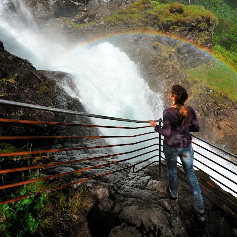
Photo: Jarle Wæhler, Statens vegvesen
