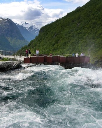
Rest area and viewpoint Jøl bru

GPS, Jøl bru:
61.93566058, 7.24471737
Wheelchair accessible.
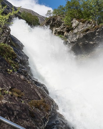
The old stone-vault bridge can be hard to spot. A new viewing platform is being planned.
When the Strynefjell road was converted to all-year traffic and a new bridge was built next to the original one, Jøl bridge was largely forgotten and even concealed. The old stone-vault bridge can be hard to spot. A new viewing platform is being planned, which will make this road-building masterpiece from 1883 more visible.
Map of the route
Closed for the winter
- Closed:
- Estimated open:
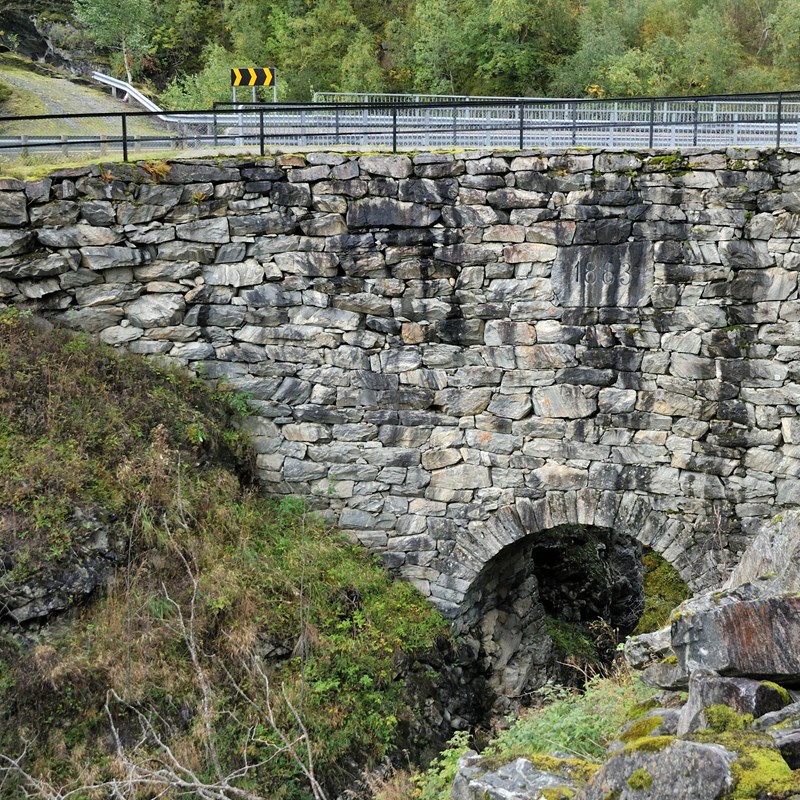
Photo: Steinar Skaar, Statens vegvesen
Photo: Jarle Wæhler, Statens vegvesen