Rasteplass og utsiktspunkt Høse bru
GPS, Høse bru:
59.48132549, 6.25974473
Wheelchair accessible.
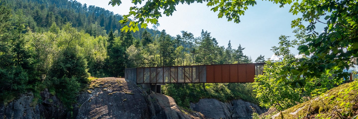
Høse bridge is a footbridge over the Suldalslågen river.
Høse bridge lies in the village of Sand, the administration centre of Suldal municipality. Suldal is a large producer of hydroelectric power, and rural tourism, mining and aquaculture provide supplementary industries. It lights up beautifully on dark autumn and winter nights and leads to the recreational area across the river.
Map of the route
Closed for the winter
- Closed:
- Estimated open:
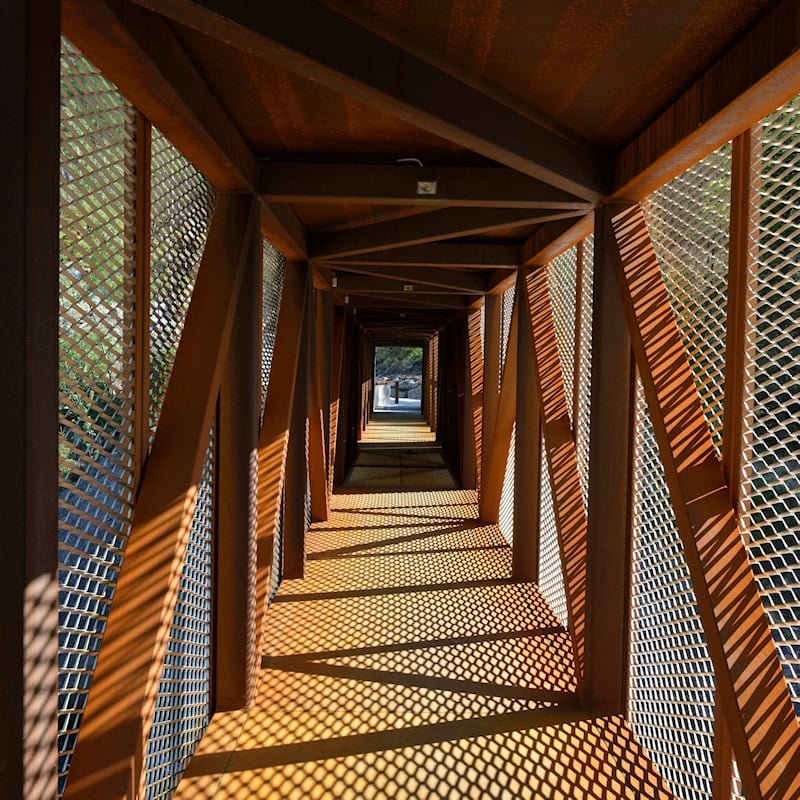
Photo: Roger Ellingsen, Statens vegvesen
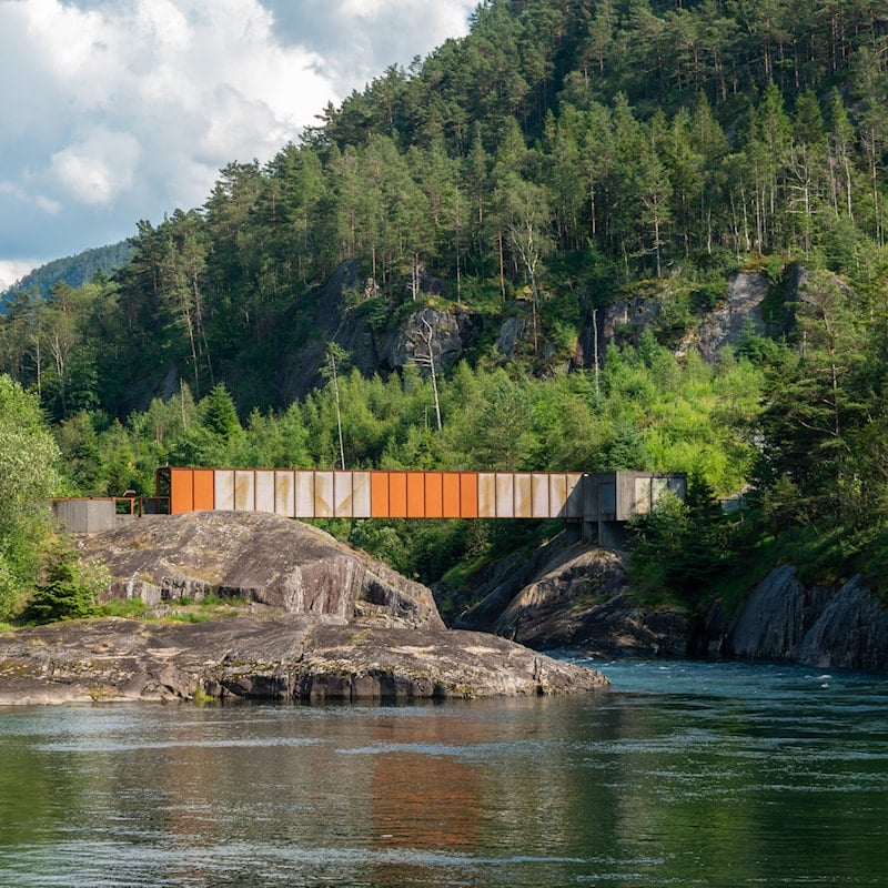
Photo: Trine Kanter Zerwekh, Statens vegvesen
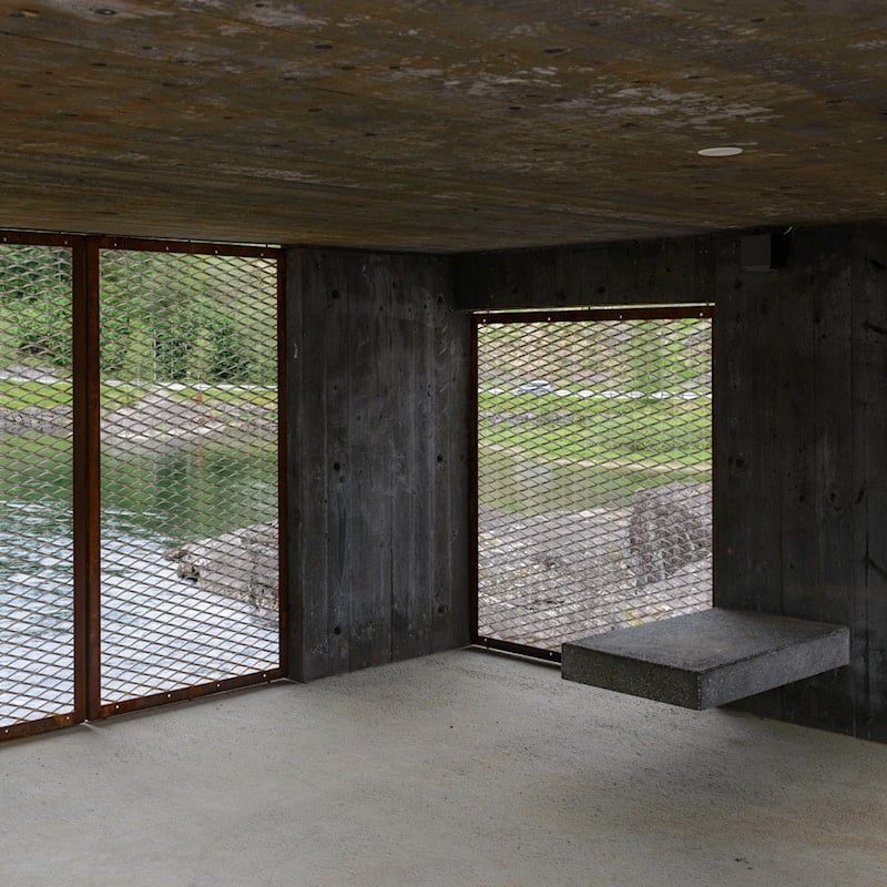
Photo: Jarle Wæhler, Statens vegvesen


