Scenic route Lofoten

Along the wall of jagged peaks rising from the expanse of ocean
A drive through a well-established destination with magnificent scenery and a vibrant coastal culture.
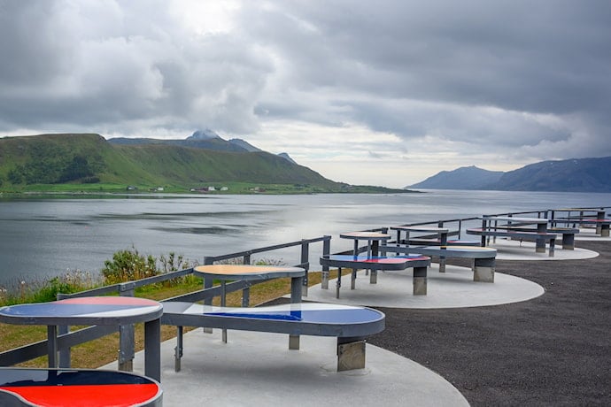
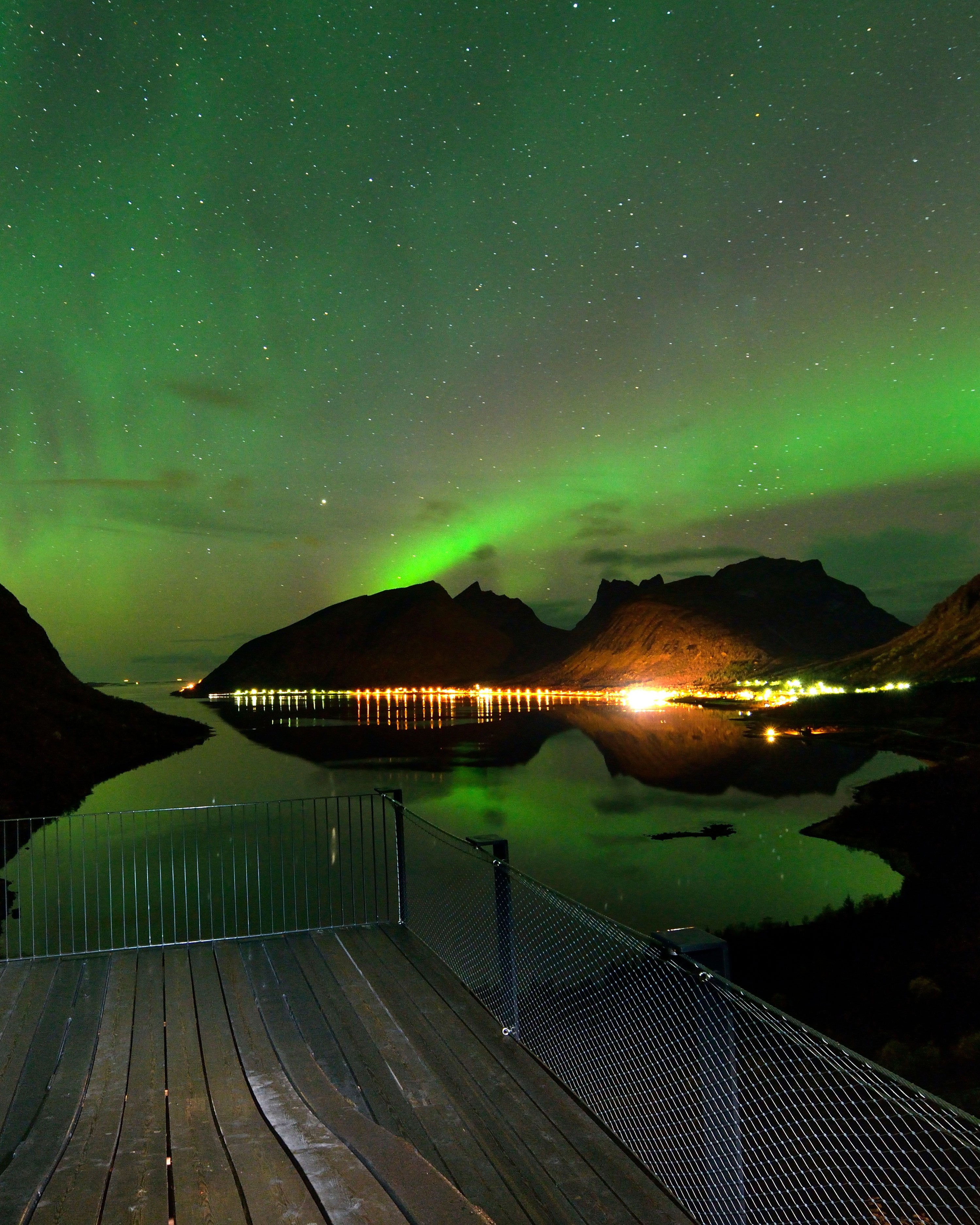
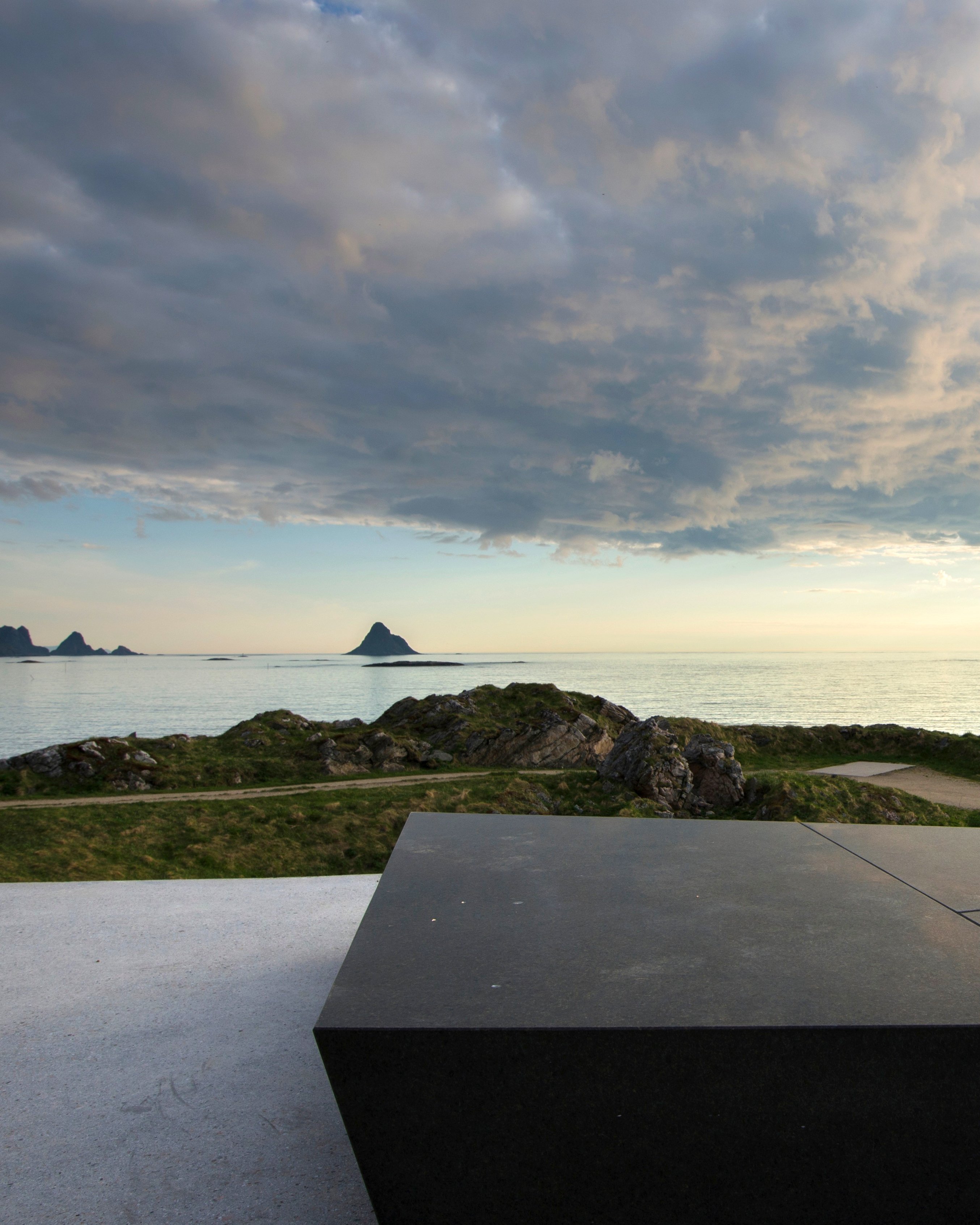
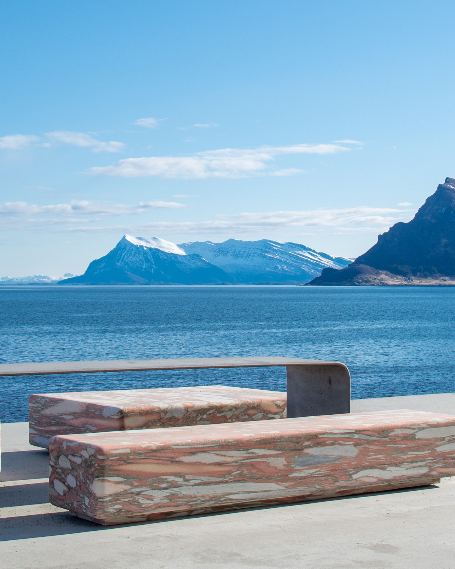
Regardless of the time of year, Lofoten provides a journey through breathtaking scenery. The combination of the ocean, jagged mountain peaks, tiny sheltered fishing villages, and white beaches with crystal clear waters will never cease to enchant us. Many tourists have discovered that Lofoten is at least as beautiful in winter as in summer. The Arctic winter is the perfect time to see the northern lights, an overwhelming play of light and colour.
Norwegian Scenic Route Lofoten runs between Å and Raftsundet, with detours to Nusfjord, Vikten, Utakleiv, Unstad, Eggum, Henningsvær and Grunnfør.
Map of the route
Closed for the winter
- Closed:
- Estimated open:
Travel information
- Length
- 230 km
- MASL
- 0 – 59
Norwegian Scenic Route Lofoten runs from Raftsundet to Å [E10] with detours to Grunnfør [7638], Henningsvær [816], Eggum [7724], Unstad [7720], Utakleiv [7606] [7716], Vikten [7600] and Nusfjord [7596]. You can avoid using ferries here by driving on [E10]. However in several places ferries offer an alternative route. The link leads to maps of ferry routes, click on the ferry icon in the map for timetables.
By travelling with the Hurtigruten coastal express, ferries and Euroroute 6 you can combine this stretch of road with other Norwegian Scenic Routes. You can avoid using ferries here by driving on Euroroute 10. However in several places ferries offer an alternative route. To the south, ferries operate on the section from Bodø - Moskenes, Svolvær - Skutvik and Bognes - Lødingen. To the north a ferry will take you from Melbu to Fiskebøl.
For cyclists: Car traffic can be quite challenging in high season. It may be a good idea to choose alternative routes such as County Road [888] from Fiskebøl to Austnesfjorden, or County Road [815] from Sundklakkstraumen to Leknes. Use the local bike ferry between Nusfjord and Ballstad to avoid the Nappstraum tunnel. Book your ticket at ballstadgutt.no. Norwegian Scenic Route Lofoten is part of National Cycle Route 1, which runs along the entire coast of Norway. From Bergen to Nordkapp the route also coincides with EuroVelo 1 «Atlantic Coast Route». The route is signposted.
Traffic and road information
Telephone +47 815 48 991
Traffic alerts in map (Norwegian only)
Traffic alerts in telephone app (Norwegian only)
Map information
- GPS, Raftsundet:
- 68.456154, 15.203437
- GPS, Å:
- 67.880584, 12.978501
Gpx file download for gps and navigation app.
In this file, the direction of travel is from Å to Raftsundet. Gpx files for all Scenic Routes. Any alternative driving pattern must be adapted by the users themselves.
Information
Emptying toilets from motorhomes and caravans is not permitted in our toilets. The facility is not designed for such use. The nearest dump stations are at Reine, Hamnøy, Ramberg, Leknes, Lyngvær, Svolvær, Austnesfjorden and Torvdalshalsen.
-

Photo 1 of 14: Akkarvikodden. Photo: Steinar Skaar, Statens vegvesen -

Photo 2 of 14: Austnesfjorden. Norwegian Scenic Route Lofoten. Photo: Jarle Wæhler, Statens vegvesen -

Photo 3 of 14: Flagstadøya. Skreda. Norwegian Scenic Route Lofoten. Photo: Steinar Skaar, Statens vegvesen -

Photo 4 of 14: Brunstranda, Flakstad. Norwegian Scenic Route Lofoten. Photo: Frid-Jorunn Stabell, Statens vegvesen -

Photo 5 of 14: Eggum. Norwegian Scenic Route Lofoten. Photo: Frid-Jorunn Stabell, Statens vegvesen -

Photo 6 of 14: Eggum. Norwegian Scenic Route Lofoten. Photo: Steinar Skaar, Statens vegvesen -

Photo 7 of 14: Austvågøy. Norwegian Scenic Route Lofoten. Photo: Steinar Skaar, Statens vegvesen -

Photo 8 of 14: Flakstad. Norwegian Scenic Route Lofoten. Photo: Steinar Skaar, Statens vegvesen -

Photo 9 of 14: Rambergstranda. Norwegian Scenic Route Lofoten. Photo: Jarle Wæhler, Statens vegvesen -

Photo 10 of 14: Haukelandstranda. Norwegian Scenic Route Lofoten. Photo: Trine Kanter Zerwekh, Statens vegvesen -

Photo 11 of 14: Å. Norwegian Scenic Route Lofoten. Photo: Jarle Wæhler, Statens vegvesen -

Photo 12 of 14: Kjerkfjorden. Norwegian Scenic Route Lofoten. Photo: Steinar Skaar, Statens vegvesen -

Photo 13 of 14: Straumnes, Laukvika. Norwegian Scenic Route Lofoten. Photo: Jarle Wæhler, Statens vegvesen -

Photo 14 of 14: Henningsvær. Straumnes, Norwegian Scenic Route Lofoten. Photo: Frid-Jorunn Stabell, Statens vegvesen
Experiences
It is easy to travel by car or bicycle in Lofoten. There is a variety of options and most are close and easily accessible. It is almost “mandatory” to try your hand at the Lofoten cod fishing, or perhaps a sea eagle safari, a stimulating boat trip in a RIB boat, or you can go it alone in a kayak or go snorkelling in the Arctic waters.
There are innumerable hiking options and many of the trails lead up to one of the many mountain peaks. If you are not comfortable with high altitudes, there are also a number of hikes closer to the sea level.
The Arctic light makes Lofoten special. Whether you want to see the midnight sun, the northern lights or maybe the blue light in the dark season, Lofoten is the place to go.
Useful links
-
The official travel guide to Norway
-
Ferry routes and timetables (Norwegian)
-
Travel by bus, train, ferry, metro and plane
-
Good advice for campers
-
Plan your trip and familiarize yourself with the traffic rules in Norway
The 18 Norwegian Scenic Routes
Norwegian Scenic Routes are roads that run through unique Norwegian nature. Along the roads you will find artworks, viewpoints and rest areas with innovative architecture in beautiful landscapes.


