Scenic route Rondane
Along the blue mountains
A drive that offers close encounter with Norwegian nature in the easily accessible borderland between high mountains and ancient cultural landscapes.
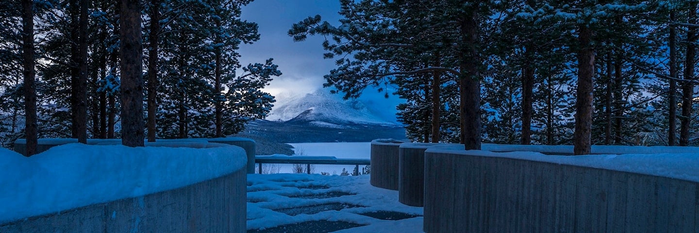
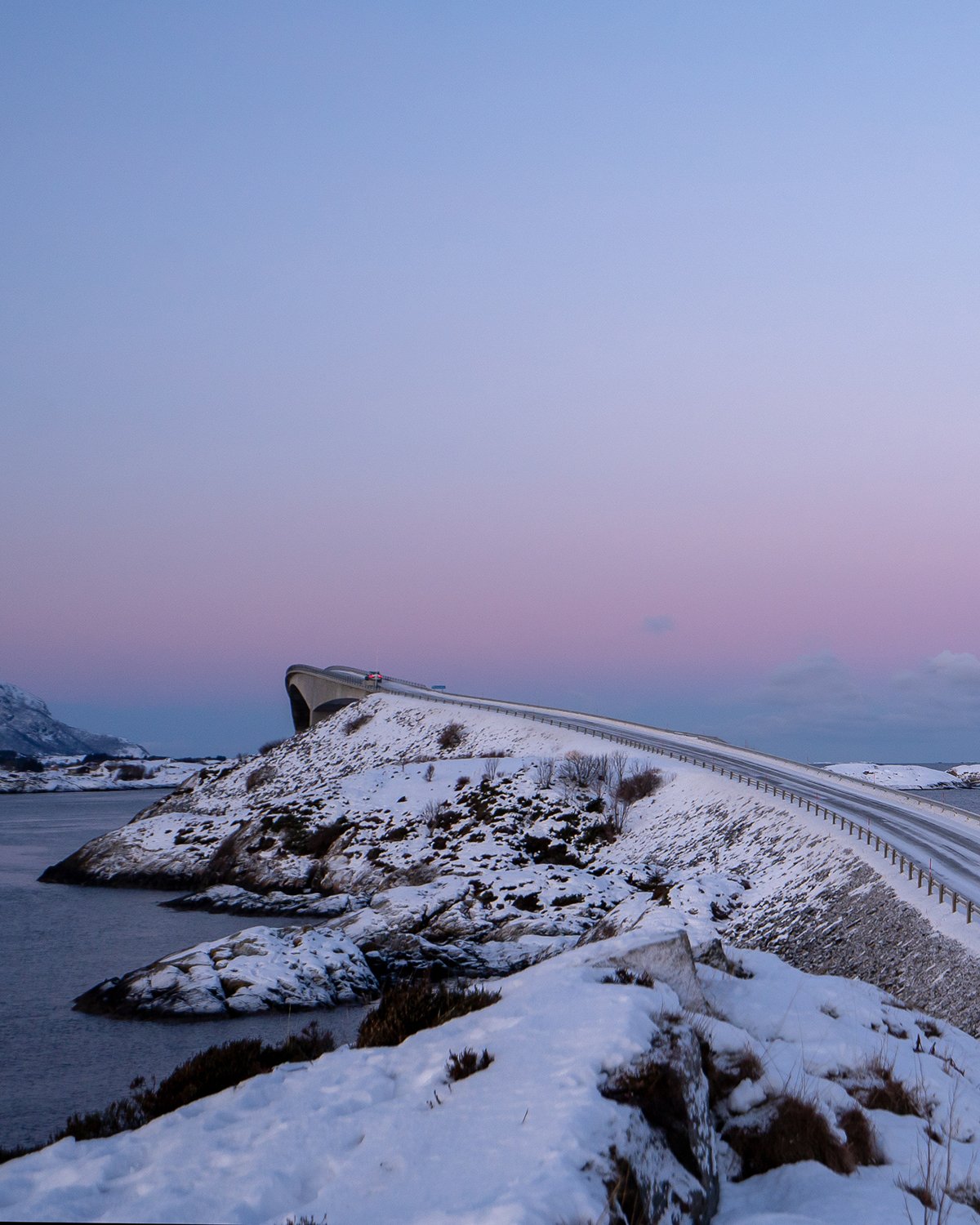
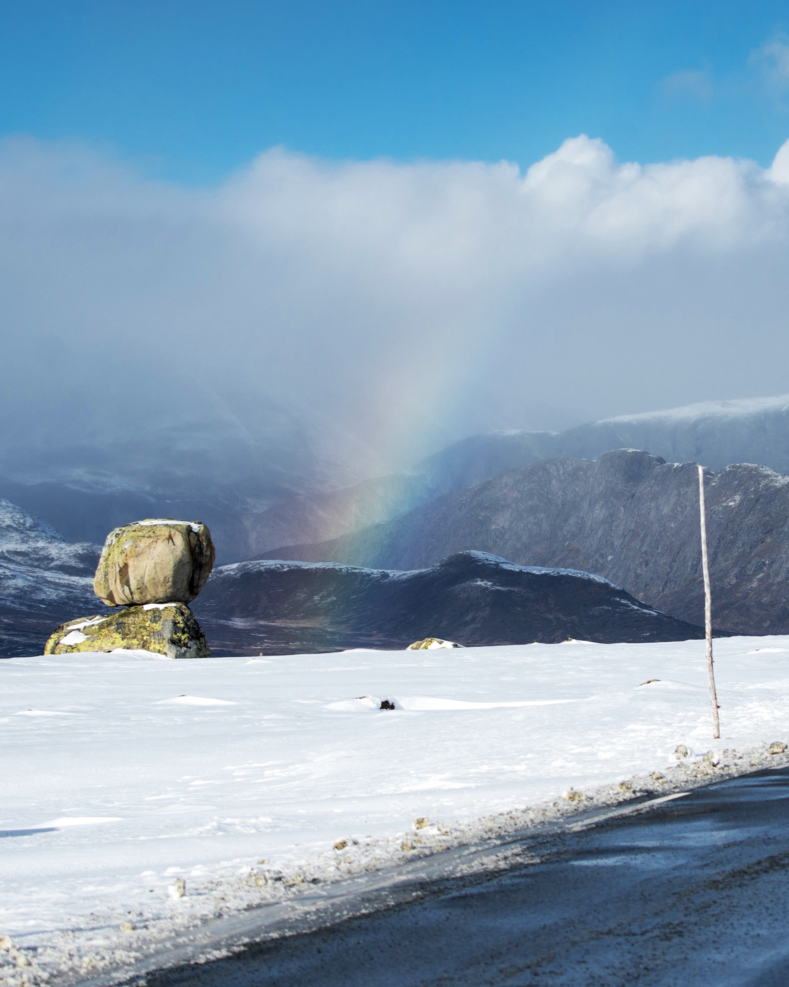
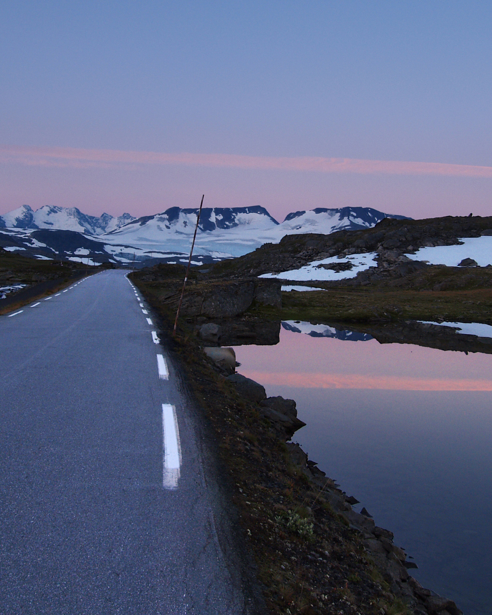
Like ancient slumbering giants, the mountains line the road that takes you alongside Rondane National Park. The slowly changing landscape with its towering mountains is a memorable experience.
2,000 metre-high summits in a singular landscape decked in blinding white snow, the low sun sun reflecting on the glittering snow, the bluish light. The quiet tranquility. Perhaps it is this feeling that has made so many artists and writers find inspiration in Rondane – and maybe this is why people return to Rondane again and again over generations.
The area, with its distinctive geology along the first national park in Norway, offers experiences and inspiration at an easy-going pace.
Map of the route
Closed for the winter
- Closed:
- Estimated open:


Travel information
- Length
- 75 km
- MASL
- 700 – 1060
Norwegian Scenic Route Rondane runs between Folldal and Venabygdsfjellet [27], and Sollia Church to Enden [219]. It is open to traffic throughout the year.
For cyclists: The route is relatively easy to cycle and car traffic is moderate. After the descent down to the valley, at Enden, it is possible to make a 24-km round trip detour to the old timber church at Sollia. Along [27] in Folldal, National Cycle Route 6 is being planned. The entire route will be running between Røros and Hardanger.
Traffic and road information
Telephone +47 815 48 991
Traffic alerts in map (Norwegian only)
Traffic alerts in telephone app (Norwegian only)
Map information
- GPS, Folldal:
- 62.1287, 10.000262
- GPS, Muen:
- 61.682254, 10.125546
- GPS, Sollia kirke:
- 61.782631, 10.408795
Gpx file download for gps and navigation app.
In this file, the direction of travel is from Venabygdsfjellet to Folldal. Gpx files for all Scenic Routes. Any alternative driving pattern must be adapted by the users themselves.
Information
Emptying toilets from motorhomes and caravans is not permitted in our toilets. The facility is not designed for such use. The nearest dump stations are at Venabygd, Grimsbu and Hjerkinn.
Vinterinformasjon
The stretch linking the tourist route and Euroroute 6 in Gudbrandsdalen (Frya) may be closed over Ringebufjellet for short periods in winter when the weather is bad.
-

Photo 1 of 11: Venabygdfjellet. Photo: Jarle Wæhler, Statens vegvesen -

Photo 2 of 11: Venabygdfjellet. Photo: Jarle Wæhler, Statens vegvesen -

Photo 3 of 11: Muen. Photo: Jarle Wæhler, Statens vegvesen -

Photo 4 of 11: Snødøldalen. Photo: Jarle Wæhler, Statens vegvesen -

Photo 5 of 11: Atnsjømyrene. Photo: Jarle Wæhler, Statens vegvesen -

Photo 6 of 11: Sohlbergplassen. Photo: Kjetil Rolseth -

Photo 7 of 11: Strømbu. Photo: Jarle Wæhler, Statens vegvesen -

Photo 8 of 11: Strømbu. Photo: Tonje Tjernet, Statens vegvesen -

Photo 9 of 11: Bjørnhollia. Photo: Rune Nilsson -

Photo 10 of 11: Høgronden. Photo: Jarle Wæhler, Statens vegvesen -

Photo 11 of 11: Folldal. Photo: Helge Stikbakke, Statens vegvesen
Experiences
Rondane offers a number of activities and is perfect for families who love hiking, with its easy terrain for children and plenty of easily accessible experiences. Here you will find an abundance of tourist lodges and hiking trails that are clearly marked. The fact that you are also in one of Norway's most beautiful areas makes the experience unique.
Strømbu is a great starting point for a number of hikes in Rondane National Park. At the southern end of the scenic route is the characteristic peak of Muen on Venabygdsfjellet. In the northeast part of Rondane, towards Folldal, you find Fallet at the entrance to the scenic valley of Grimsdalen, and from Gamle Grimsa Bridge you can take a nice and easy hike in to Fallfossen waterfall.
Useful links
-
The official travel guide to Norway
-
Travel by bus, train, ferry, metro and plane
-
Good advice for campers
-
Plan your trip and familiarize yourself with the traffic rules in Norway
The 18 Norwegian Scenic Routes
Norwegian Scenic Routes are roads that run through unique Norwegian nature. Along the roads you will find artworks, viewpoints and rest areas with innovative architecture in beautiful landscapes.
![]()