Scenic route Atlanterhavsvegen
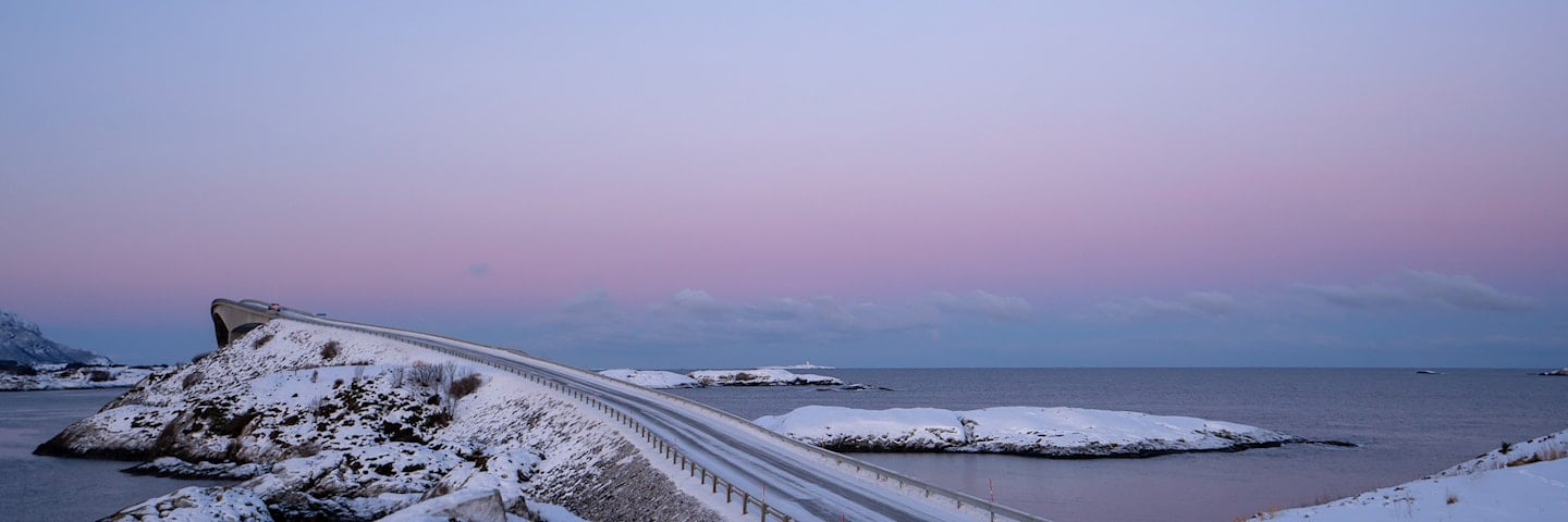
The road across the sea
“The road across the sea” is the iconic experience with bridges that arch between the islets and reefs along the rough Hustadvika Bay.
Atlanterhavsvegen - the Atlantic Road - is a visual delight as it curves elegantly from islet to islet over its seven bridges. Nature and modern engineering meet and create this highly unique driving experience.
The trip takes you from the fertile cultural landscape of the coast across moorland to bare crags along the weather-beaten, open bay of Hustadvika. Take time to watch the sun disappearing below the horizon from here. Atlanterhavsvegen has been described as the world’s most beautiful drive.
Map of the route
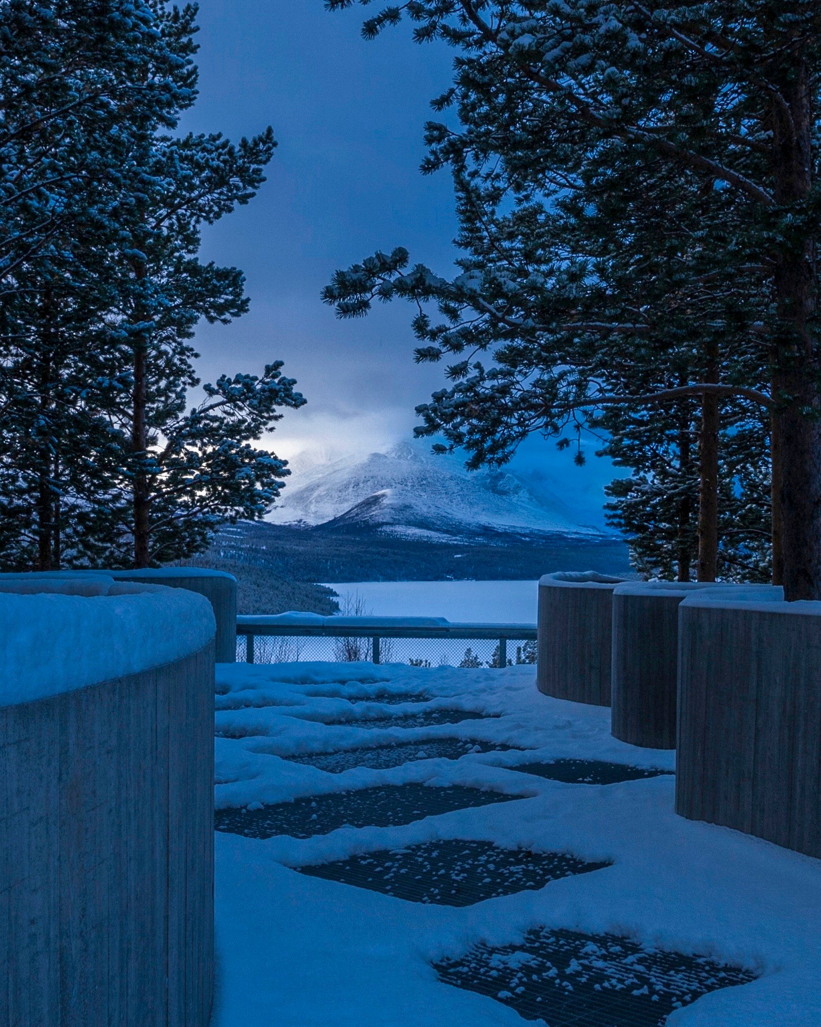
Closed for the winter
- Closed:
- Estimated open:


Travel information
- Length
- 36 km
- MASL
- 0 – 30
Norwegian Scenic Route Atlanterhavsvegen runs from Kårvåg to Bud, road [64] [6070] [663] [6064] [6060]. Few roads bring you closer to the ocean and let you feel part of it in the same way as Atlanterhavsvegen.
If you plan to continue north, we recommend a boat trip to the weather-beaten and idyllic islands of Grip, 14 km northwest of Kristiansund. The boat departs from Kristiansund and takes about an hour.
For cyclists: On the Atlantic Road you are close to the ocean; beware of strong winds when you ride along the bridges. The route may have quite a lot of traffic during high season. Norwegian Scenic Route Atlanterhavsvegen is part of National Cycle Route 1, which runs along the entire coast of Norway. From Bergen to Nordkapp the route also coincides with EuroVelo 1 «Atlantic Coast Route». The route is signposted.
Traffic and road information
Telephone +47 815 48 991
Traffic alerts in map (Norwegian only)
Traffic alerts in telephone app (Norwegian only)
Map information
- GPS, Kårvåg:
- 63.011625, 7.425009
- GPS, Bud:
- 62.907265, 6.914241
Gpx file download for gps and navigation app.
In this file, the direction of travel is from Bud to Kårvåg. Gpx files for all Scenic Routes. Any alternative driving pattern must be adapted by the users themselves.
Information
Emptying toilets from motorhomes and caravans is not permitted in our toilets. The facility is not designed for such use. The nearest dump stations are at Kårvåg, Vevang, Eide, Bud, Kristiansund and Molde.
-

Photo 1 of 9: Atlanterhavsvegen. Photo: Kjetil Rolseth -

Photo 2 of 9: Teistklubben, Skotheimsvik. Photo: Jarle Wæhler, Statens vegvesen -

Photo 3 of 9: Myrbærholmbrua. Photo: Jan Helge Birkelund, Atlantic foto -

Photo 4 of 9: Myrbærholmbrua, Storseisundbrua. Photo: Jan Helge Birkelund, Atlantic Foto -

Photo 5 of 9: Storseisundbru. Photo: Eline Karlsdatter Fladseth, Visit Northwest -

Photo 6 of 9: Skotheimsvik. Photo: Jarle Wæhler, Statens vegvesen -

Photo 7 of 9: Myrbærholmbrua. Photo: Roger Ellingsen, Statens vegvesen -

Photo 8 of 9: Eldhusøya. Photo: Roger Ellingsen, Statens vegvesen -

Photo 9 of 9: Storseisundbrua. Photo: Roger Ellingsen, Statens vegvesen
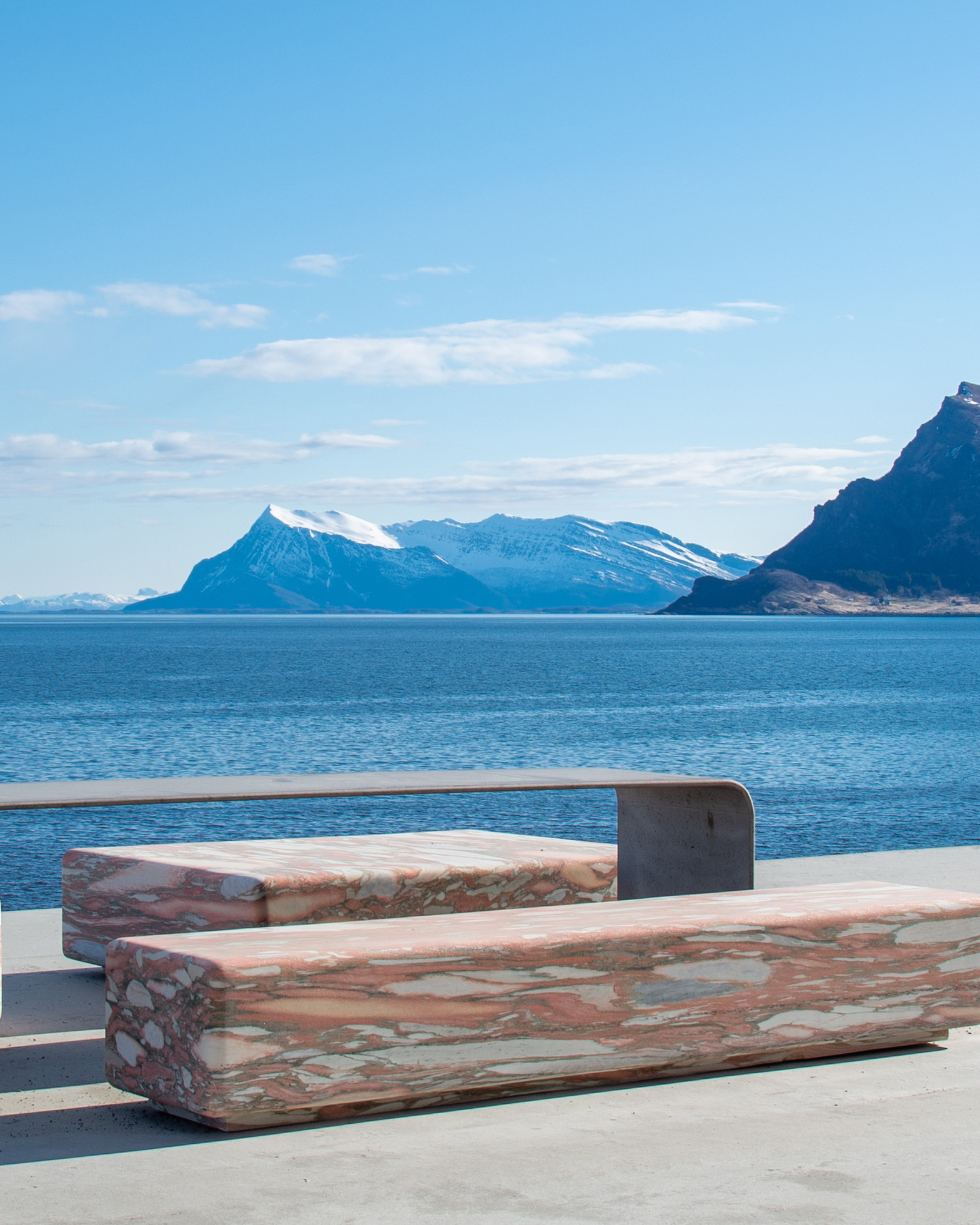
Experiences
The area around the Atlantic Road offers a number of activities, both on land and at sea. Try your luck fishing from the Myrbærholm Bridge, where a catch is almost guaranteed. Enjoy the view from the pier at Askevågen on a sunny day or feel the forces of nature in a raging storm.
Atlanterhavsvegen by bike will give you weather, wind, sea and great nature experiences.
At Farstadsanden and Vevang you can follow the coastal trail through rolling terrain. At the westernmost point on this route is the village of Bud. From here you can follow the trail along the waterfront, past the Ergan Coastal Fort and out towards the open sea. The elevated hiking path on Eldhusøya is a nice circular walk that is accessible to all.
Useful links
-
The official travel guide to Norway
-
Travel by bus, train, ferry, metro and plane
-
Good advice for campers
-
Plan your trip and familiarize yourself with the traffic rules in Norway
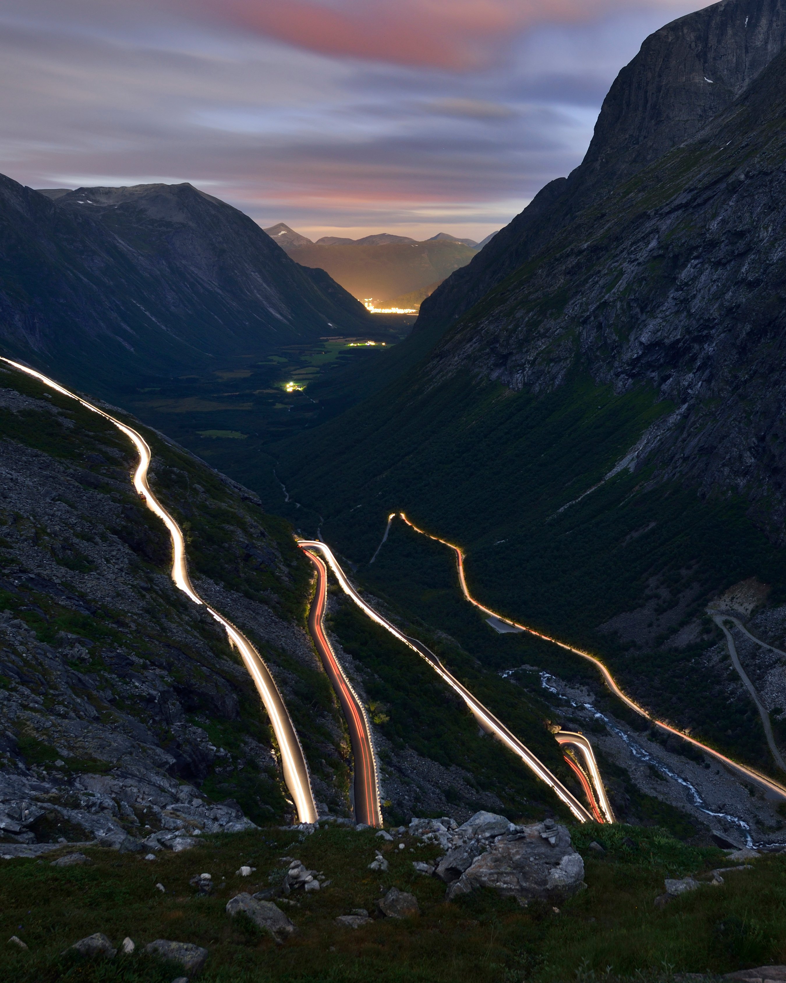
The 18 Norwegian Scenic Routes
Norwegian Scenic Routes are roads that run through unique Norwegian nature. Along the roads you will find artworks, viewpoints and rest areas with innovative architecture in beautiful landscapes.
![]()