Scenic route Hardanger

Mountains, fjords, waterfalls and glaciers
Several drives through a long-established tourism area. Waterfalls and glaciers form mighty stage sets that have attracted tourists for more than a century
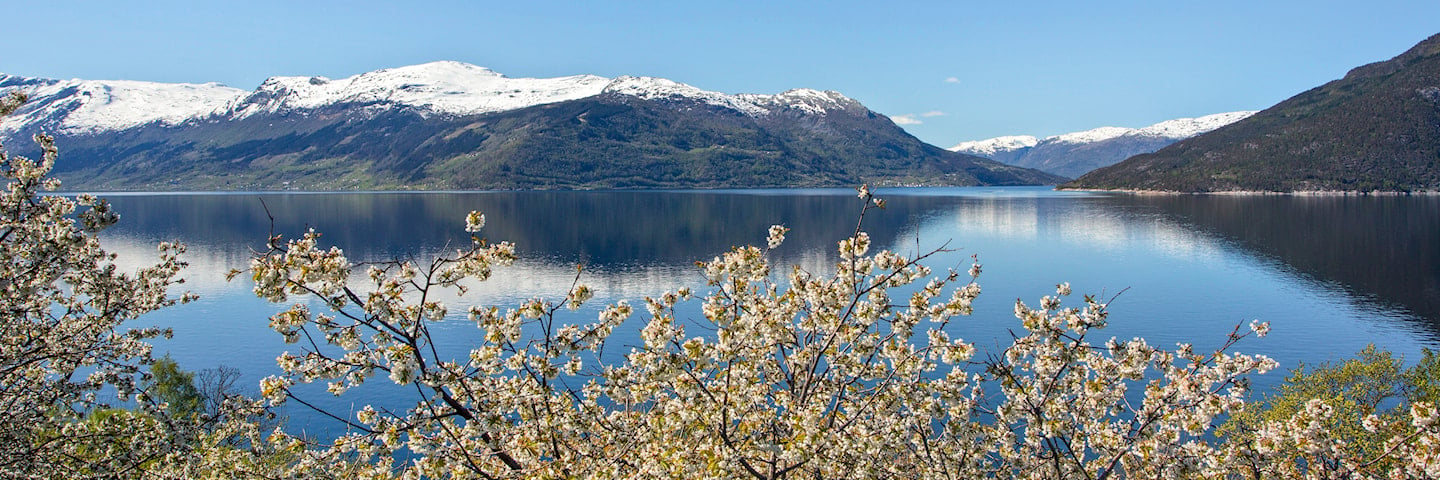
It’s no secret that Hardanger is like a picture postcard, and almost everywhere you look you will be feasting your eyes on thundering waterfalls or fruit trees in bloom.
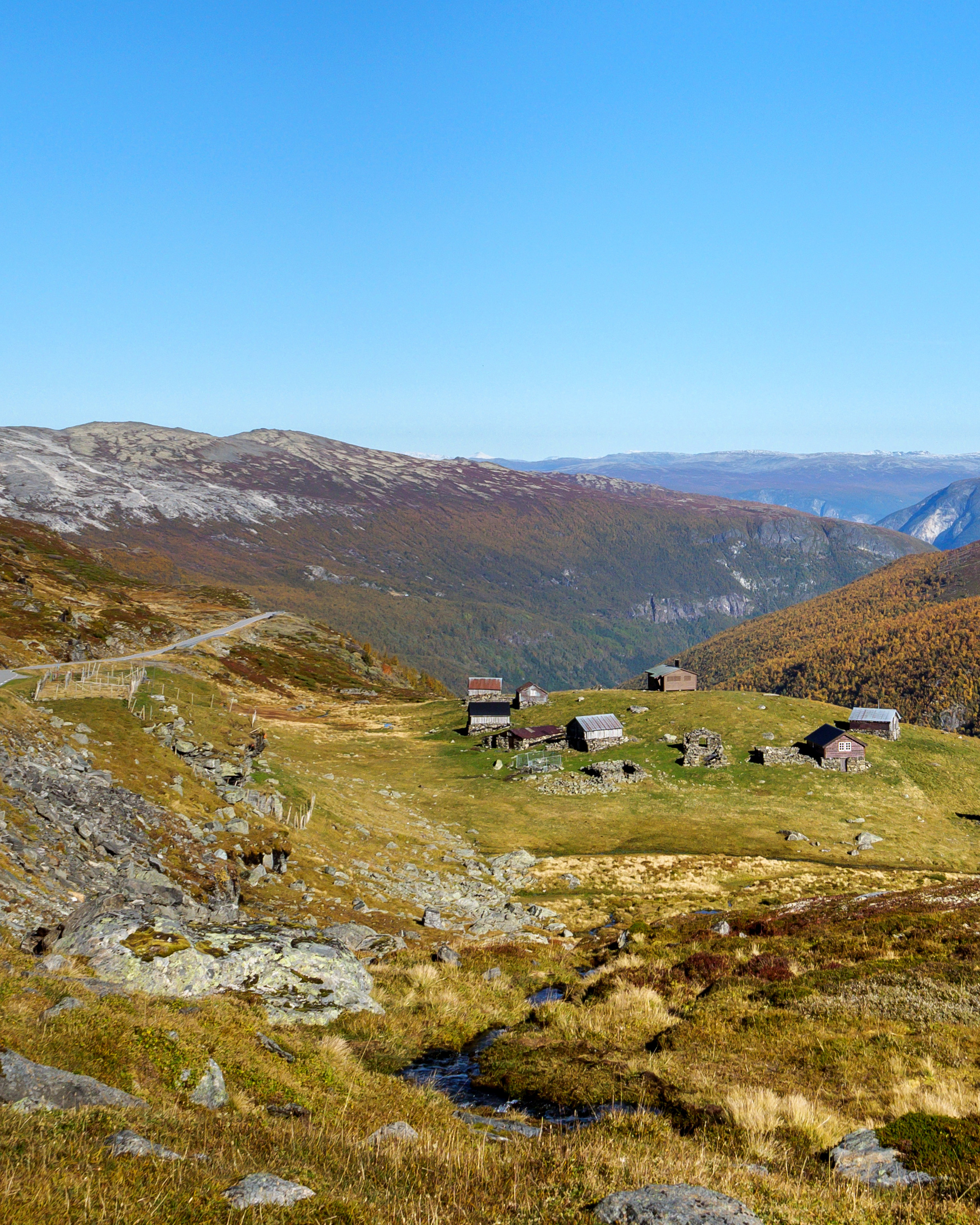
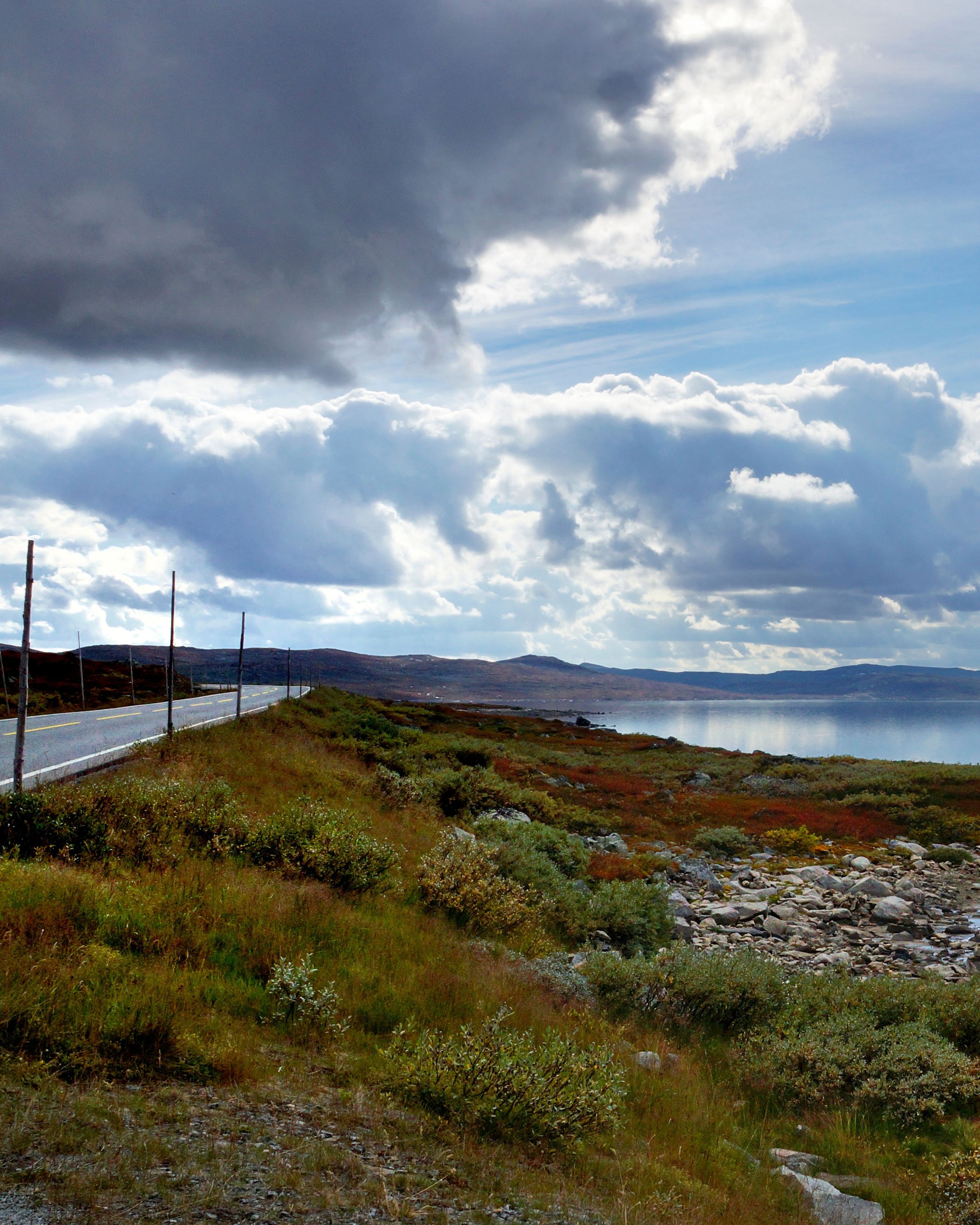
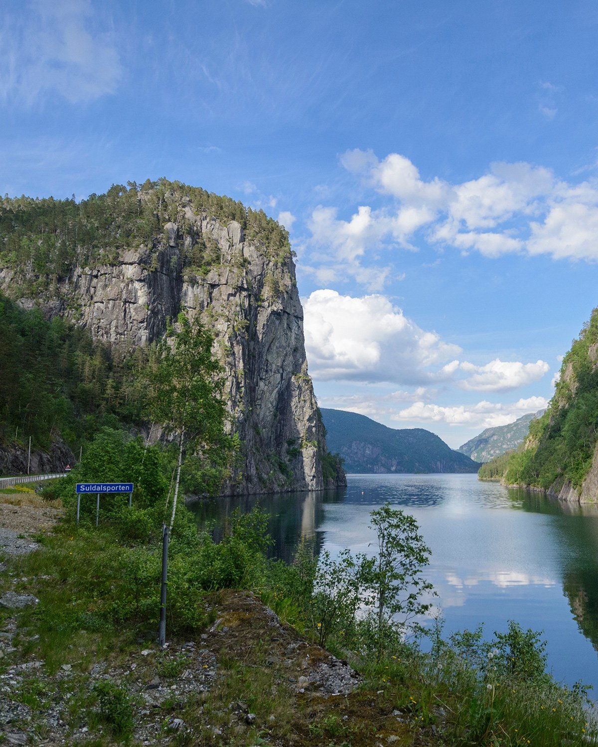
The roads in Hardanger impose their own pace and you must adapt to the natural tempo. The road may follow a shelf along a steep-sided valley or it may literally pass through an apple orchard. The nature in the area has given rise to boat building, fruit farms and industry.
Norwegian Scenic Route Hardanger consists of four sections: Granvin - Steinsdalsfossen, Norheimsund - Tørvikbygd, Jondal – Utne, and Kinsarvik – Låtefoss.
Map of the route
Closed for the winter
- Closed:
- Estimated open:
Travel information
- Length
- 158 km
- MASL
- 0 – 275
- Sea crossing
- 2 ferries
Norwegian Scenic Route Hardanger consists of four stretches: Granvin - Steinsdalsfossen [79] [49], Norheimsund - Tørvikbygd [49], Jondal - Utne [550], and Kinsarvik - Låtefoss [13]. This route is open for traffic throughout the year.
A ferry operates from Tørvikbygd - Jondal and from Kinsarvik - Utne - Kvandal. The links lead to maps of ferry routes, click on the ferry icon in the map for timetables.
For cyclists: Beware of heavy traffic during the summer months. Avoid tunnels on the road from Kinsarvik to Odda, and onwards to Låtefossen - instead ride on the "outside".
Traffic and road information
Telephone +47 815 48 991
Traffic alerts in map (Norwegian only)
Traffic alerts in telephone app (Norwegian only)
Map information
- GPS, Granvin:
- 60.529691, 6.728418
- GPS, Låtefoss:
- 59.944362, 6.584351
- GPS, Steinsdalsfossen:
- 60.365957, 6.088132
Gpx file download for gps and navigation app.
In this file, the direction of travel is from Låtefoss to Granvin. Gpx files for all Scenic Routes. Any alternative driving pattern must be adapted by the users themselves.
Information
Emptying toilets from motorhomes and caravans is not permitted in our toilets. The facility is not designed for such use. The nearest dump stations are at Kinsarvik, Odda and Norheimsund.
Vinterinformasjon
Parts of road 13 (Skjervsvegen) are closed in winter. During that period, there is no access to Skjervsfossen.
-

Photo 1 of 11: Lofthus, Ullensvang. Photo: Sigurd Krøvel-Velle -

Photo 2 of 11: Lofthus. Photo: Frid-Jorunn Stabell, Statens vegvesen -

Photo 3 of 11: Tyssedal. Photo: Jarle Wæhler, Statens vegvesen -

Photo 4 of 11: Hardangerbrua. Photo: Frid-Jorunn Stabell, Statens vegvesen -

Photo 5 of 11: Låtefossen. Photo: Frid-Jorunn Stabell, Statens vegvesen -

Photo 6 of 11: Jondal - Utne. Photo: Jarle Wæhler, Statens vegvesen -

Photo 7 of 11: Utne, Ullensvang. Photo: Jarle Wæhler, Statens vegvesen -

Photo 8 of 11: Herand, Jondal. Photo: Jarle Wæhler, Statens vegvesen -

Photo 9 of 11: Jondal. Photo: Jarle Wæhler, Statens vegvesen -

Photo 10 of 11: Skjervsfossen. Photo: Jarle Wæhler, Statens vegvesen -

Photo 11 of 11: Odda. Photo: Frid-Jorunn Stabell, Statens vegvesen
Experiences
For all lovers of waterfalls, Hardanger is the perfect destination. Hardanger is framed by large waterfalls. Steinsdalsfossen, Vøringsfossen, Skjervsfossen, Låtefossen and Furebergfossen are all different, but they all have the same hypnotic power.
There are plenty of hiking options, and many of them will give you a panoramic view of the fiord arms in the area. The best-known hike is the highly challenging walk to Trolltunga, but Hardanger also offers many other great hikes, without the same crowds. A walk to Buarbreen gives you a close look at the glacier, but also lets you experience one of the beautiful valleys in Western Norway.
In Hardanger, fruit farming has taken place since the 14th century, and industries such as boat building and quarrying have been important to the local community. Artists and tourists have always been inspired by the beautiful scenery.
Useful links
-
The official travel guide to Norway
-
Ferry routes and timetables (Norwegian)
-
Travel by bus, train, ferry, metro and plane
-
Good advice for campers
-
Plan your trip and familiarize yourself with the traffic rules in Norway
The 18 Norwegian Scenic Routes
Norwegian Scenic Routes are roads that run through unique Norwegian nature. Along the roads you will find artworks, viewpoints and rest areas with innovative architecture in beautiful landscapes.


